Backpacking Yosemite’s Eagle Peak

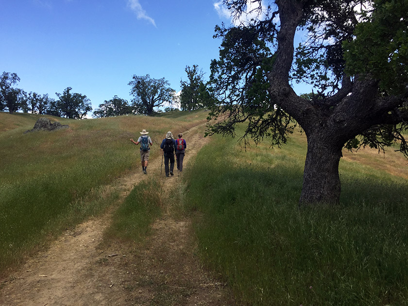
After spending an entire weekend at home, we were extremely sick of house projects and decided the following weekend should be spent outdoors! And why not in Yosemite? It can be surprisingly easy to get a permit for the Yosemite backcountry in the summertime… if you’re not trying to hike the JMT.  And if you’re not picky. That said, it did take me about 50 attempts before I was actually able to get through to the permit office on the phone. Continue reading “Backpacking Yosemite’s Eagle Peak”

Carson Pass to Lost Lakes

The area surrounding Carson Pass is beautiful and far less crowded than the neighboring Lake Tahoe basin. This hike follows the Pacific Crest Trail, climbing the ridge under Elephants Back, through the Mokelumne Wilderness and into the heart of Toiyabe National Forest. In late summer, it’s possible to reach the Lost Lakes with an OHV. If you’re on foot, it’s best to visit when snow still covers the dirt road. We planned our hike for July 4th weekend- when Tahoe is overrun with visitors- and we found plenty of solitude. Continue reading “Carson Pass to Lost Lakes”

Murietta Falls

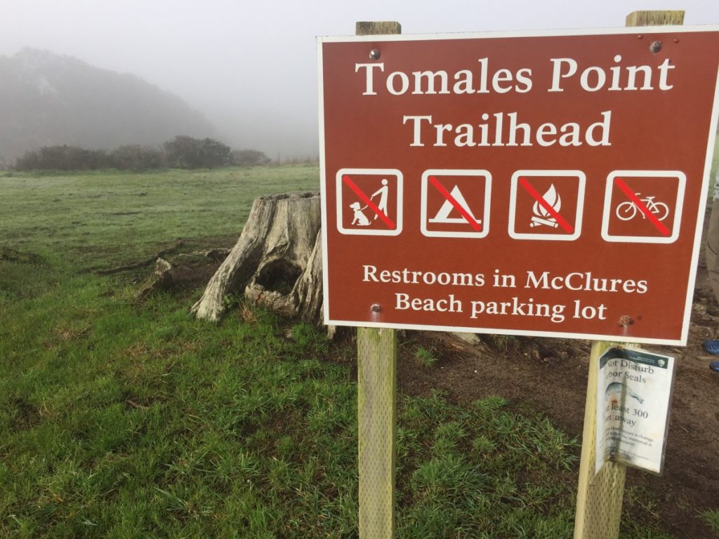
Murietta Falls. Other hiking blogs have referred to it as a “regional gem.” That might be true, but it’s certainly no Yosemite Falls. While the waterfall itself might leave a little to be desired, the hike is appealing: it’s incredibly steep (a good challenge!) and it provides nice views of the East Bay. Continue reading “Murietta Falls”

Western States Trail: Michigan Bluff to Deadwood

This hike is a workout. And if you want more of a challenge, try running it. The route follows a section of the Western States Trail: home to the Western States 100 Endurance Run. In addition to hosting the world’s oldest 100-mile ultramarathon, the trail from Michigan Bluff to Deadwood is on the National Register of Historic Places. It follows the old supply route between the mining towns of Michigan Bluff, Deadwood and Last Chance. Continue reading “Western States Trail: Michigan Bluff to Deadwood”

Snowshoeing to the Peter Grubb Hut

April 1st marks the average maximum snowpack date for most years in the Sierra. In other words, if you want to see the most possible snow on the ground in California, early April is probably a good time to head to the mountains. The Peter Grubb hut is one of several old Sierra Club huts around the Tahoe region. It’s a relatively easy hike and in winter, it makes for a great ski or snowshoe trek. Continue reading “Snowshoeing to the Peter Grubb Hut”

Death Valley: Charcoal Kilns to Bennett Peak

Camping in the winter? Yes! Death Valley National Park is the hottest and driest place in North America, making winter an ideal time to visit. While Bennett Peak (9980′) can be hiked year round, it is especially impressive on a clear winter day when there is snow on the ground. From the top, one can see the highest and lowest points in the contiguous United States. Continue reading “Death Valley: Charcoal Kilns to Bennett Peak”

Tinker Knob in the Winter

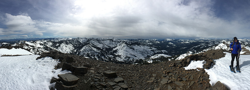
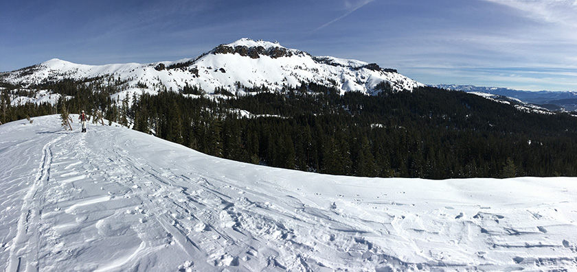
When our friends booked out the Lost Trail Lodge for a weekend, we jumped at the opportunity to explore some new terrain. Apparently it’s called the Lost Trail because nobody goes there. I can confirm that very few people venture back in Coldstream Canyon, compared to other places in the Tahoe area. The only tracks we followed all day were from snowmobiles. Continue reading “Tinker Knob in the Winter”

Sykes Hot Springs

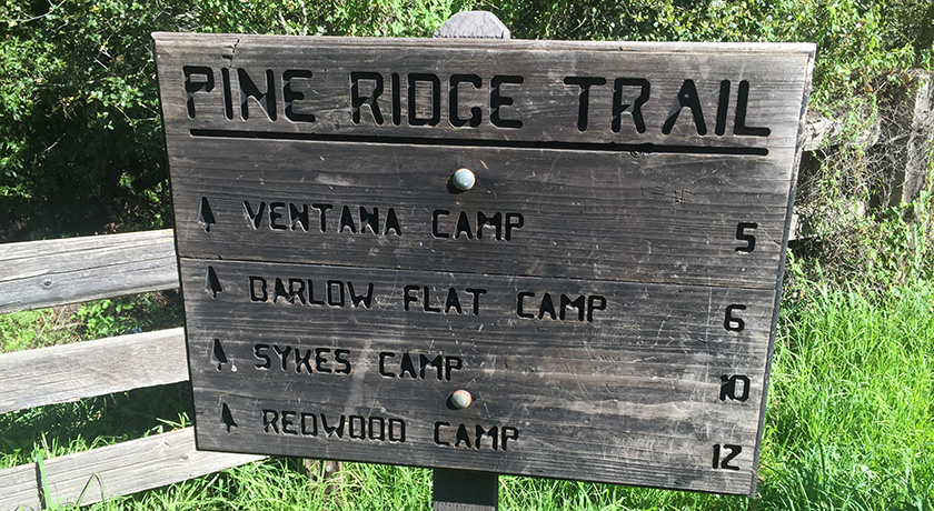
The shortest route to Sykes Hot Springs is a 10 mile trek along the Pine Ridge Trail. The springs are deep in the Ventana Wilderness, but a visit to Sykes is not much of a wilderness experience at all. On any given weekend, dozens (if not hundreds) of people are out on this trail with Sykes as their destination. Continue reading “Sykes Hot Springs”