Shepherd Pass and Mount Tyndall

34_000

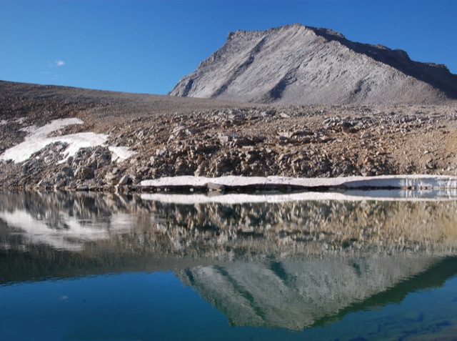
Back in 2010 when we hiked the John Muir Trail, we took a one day detour to the base of Mount Tyndall with hopes of climbing it. In the morning, we scrambled about halfway up the North Rib before deciding to turn back. I think we didn’t climb the mountain for several reasons: we didn’t do any research and weren’t sure of the route, we still had many miles yet to go (with limited food), we had no helmets (the rocks were very loose), and it was freezing cold which gave us a late start on the climb.  Perhaps I’m just making excuses, but it just didn’t seem like a good idea at the time.  Unfortunately, our failure to summit bothered us until we finally decided to return and finish what we started. Continue reading “Shepherd Pass and Mount Tyndall”

Hines Peak from Middle Lion

Basics: Hines Peak from Lion Canyon is about 20 miles round trip.  It’s a long hike, but the views from the top of this peak are epic and worth the crazy hike.  Hines Peak is the highest point in the Topatopa Range.  Do not attempt this hike on a hot summer day – the Los Padres can be brutal.

There are at least four different approaches to climbing Hines Peak. The easiest?  Contact the Forest Service to get the gate code for the dirt road leaving Rose Valley, then drive to the end of Nordhoff Ridge Road (4wd required) and begin the hike from there.  The easy hike is around 7 miles roundtrip.  Alternatively, Hines Peak can be reached from Sisar Canyon (20 miles round trip), Middle Lion (20 miles round trip) , Rose Valley (20 miles round trip), or from the Sespe River trail (multi-day trip).  We opted for the 20 mile hike from Middle Lion Campground.  Sisar Canyon seems to be the most common approach – the Sierra Club HPS page has a pretty good description. Continue reading “Hines Peak from Middle Lion”

Chief Peak from Horn Canyon

Basics: Chief Peak is one of the pointiest summits looming above the Ojai Valley. At 5560 ft, it’s also the fourth tallest mountain in the Topatopa range. The majority of visitors hike this peak from Rose Valley – 9 miles round trip. Alternatively, it’s possible to hike a strenuous 15 miles round trip from Horn Canyon in Ojai. Once atop the narrow summit, you will be rewarded with impressive 360 degree views. This hike is steep, sunny (hot on many days), and uncrowded. Continue reading “Chief Peak from Horn Canyon”

Sespe River Trail to Willett Hot Springs

Basics: This scenic 20+ mile (roundtrip) hike follows Sespe Creek through one of Southern California’s most interesting and rugged wilderness areas. At the end of this long hike is a 100-degree hot spring- great for soaking in after the trek. There are numerous campsites near Willett Hot Springs. There are also many great camping opportunities along Sespe Creek – making this an ideal backpacking trip for anyone who is unsure about how far they feel like hiking. This wilderness is great in spring, summer or late fall. Summer is hot, but may be okay as long as the Sespe still has water in it. Continue reading “Sespe River Trail to Willett Hot Springs”

Double Dipsea Hike

Basics: The Dipsea Trail is a 7 mile trail running from Mill Valley through Muir Woods and Mt Tamalpais State Park all the way to Stinson Beach.  It is home to one of the oldest trail races in the country – the Dipsea Race – first run in 1905.  With two cars (or a willingness to research bus schedules), the trail can be hiked one way.  If transportation options are limited, it’s possible to hike the entire trail out and back for a total of 14 miles and 4400-ft of elevation gain. Continue reading “Double Dipsea Hike”

Ralston Peak – Desolation Wilderness

Basics: Ralston Peak is located in the southern part of Desolation Wilderness and is relatively easy to reach.  There is a trailhead with parking on the north side of Hwy 50 at Camp Sacramento.  Permits are required.  The hike is just under 6 miles (roundtrip) and involves a moderately strenuous gain of about 2700-ft. Continue reading “Ralston Peak – Desolation Wilderness”