
We’re back! And we’re hiking again. After 2600+ miles this year, we’re not sick of it yet. Last weekend we headed out to the coast to check out Tomales Point.
| Hike Basics |
| Distance: 9.5 miles |
| Elevation: 1200 ft, gentle rolling terrain |
| Red Tape: Free parking. No quotas or permits for day hiking. No overnight camping allowed on this trail. |
| Other Notes: This trail gets crowded, especially on weekends! Link to NPS trail map (PDF). |
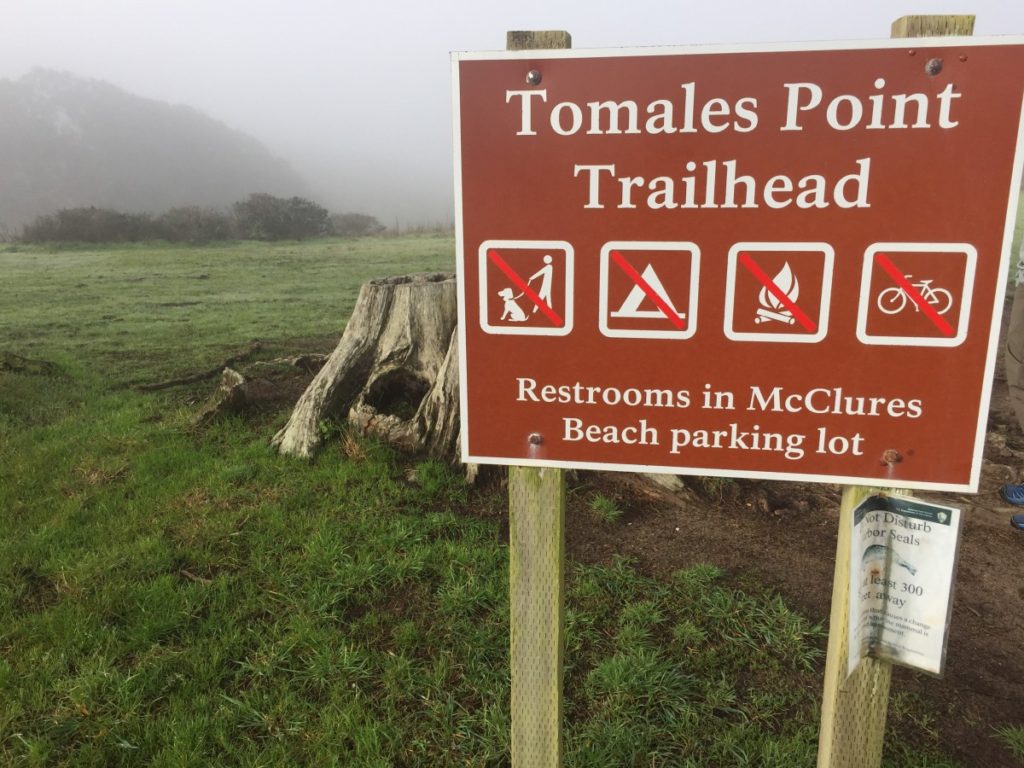
Directions to Trailhead
The trailhead is located near the end of Pierce Point Road, approximately 40 minutes from the town of Point Reyes Station. Google Map link to trailhead.
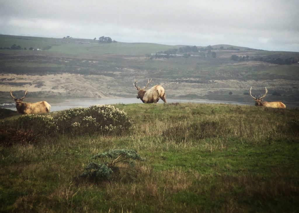
Tule Elk in Point Reyes
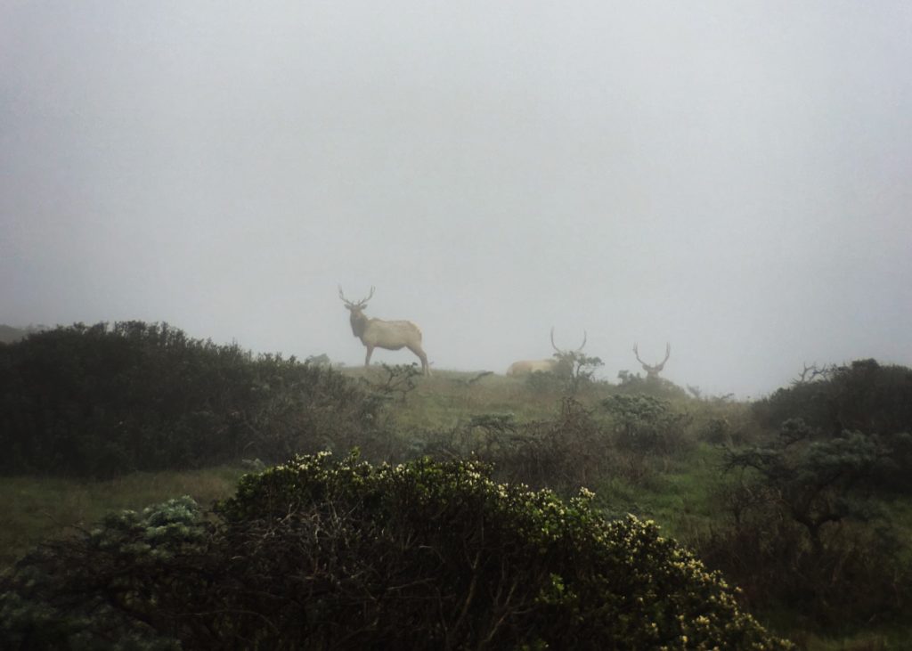
Tomales Point is home to the Tomales Point Tule Elk Reserve. I was really hoping we’d see some elk on this hike. We were not disappointed. California’s tule elk were thought to be extinct by the 1870’s – mostly due to uncontrolled hunting and displacement by cattle. Fortunately, a forward-thinking cattle rancher named Henry Miller managed to preserve one isolated herd on his ranch near Bakersfield. Thanks to his efforts, all tule elk alive today have descended from this one herd.
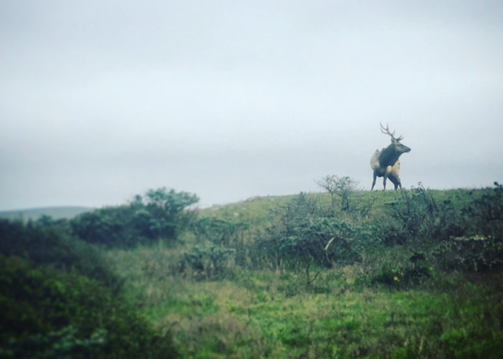
Elk were reintroduced to Point Reyes in 1978. After a period of slow growth, their population increased exponentially for a few years. Now they seem to have a reached a sustainable level (with numbers averaging around 450 individuals).
Due to the confined nature of the geography, it’s probably almost impossible to hike to the end of Tomales Point without actually seeing the elk. We saw so many, it was almost not that exciting by the time we finished our hike.
Hike Description
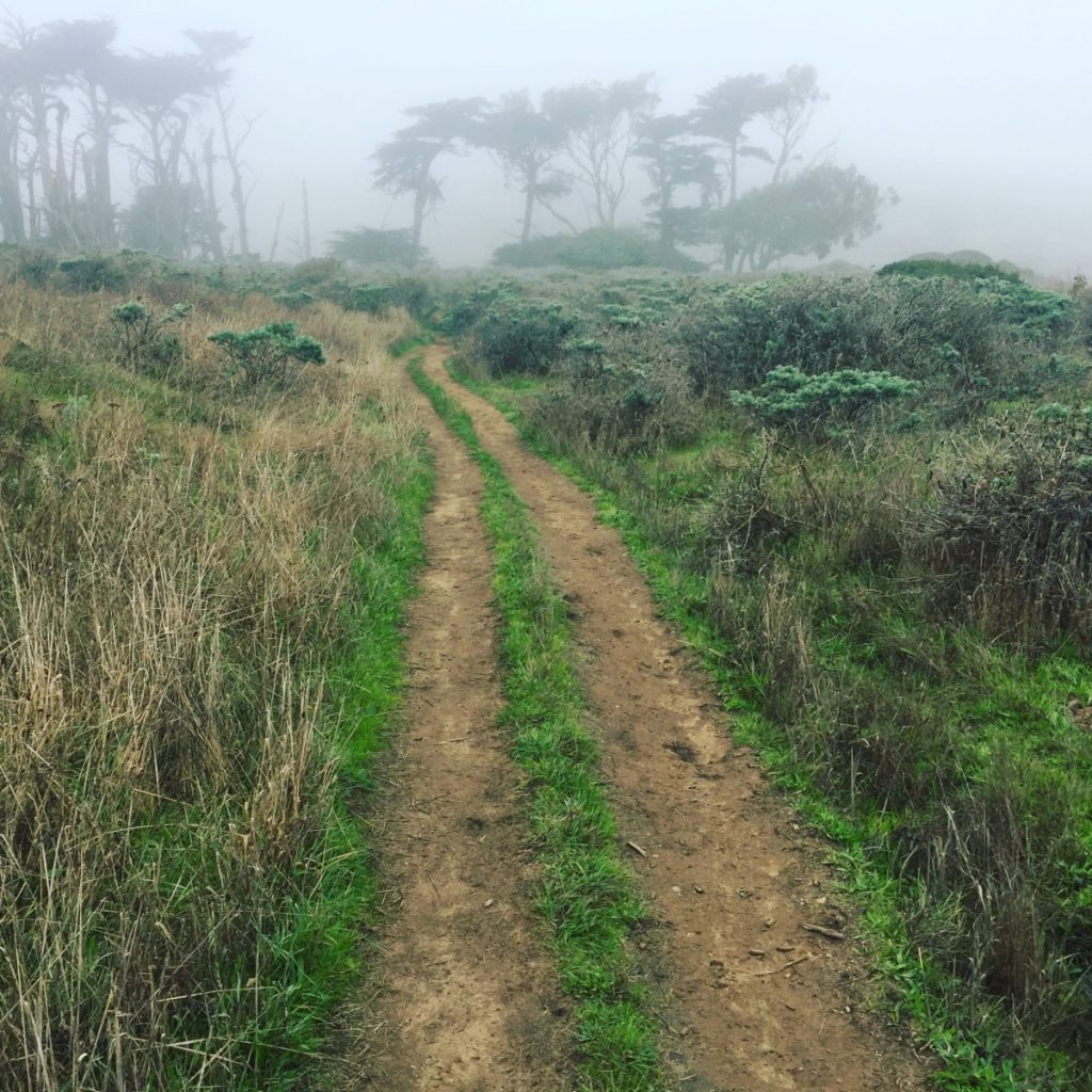
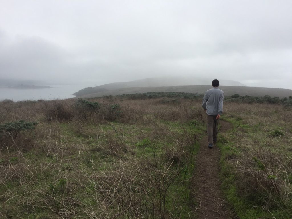
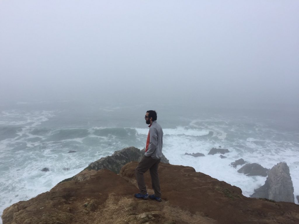
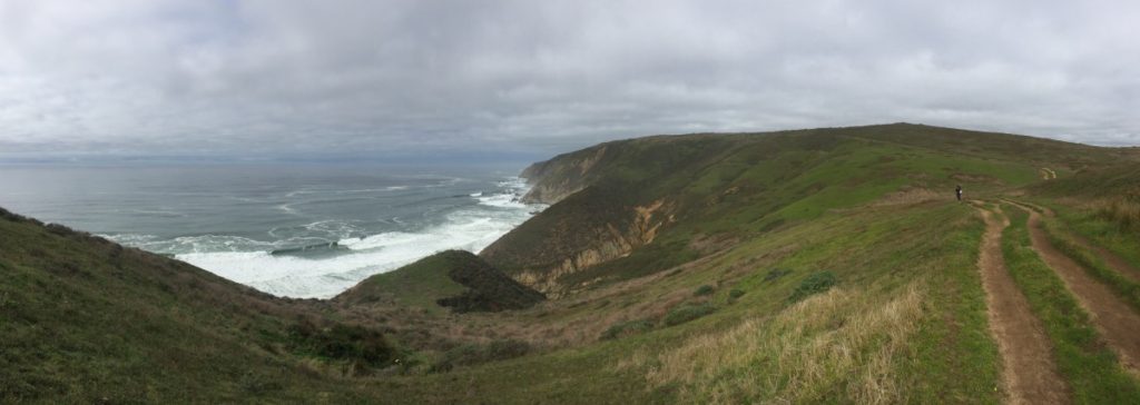
Tomales Point is surrounded by water on three sides – the Pacific Ocean to the west, Tomales Bay to the east, and Bodega Bay to the north. On a clear day, this makes for spectacular views. On our hike out to the point, we were completely socked in by the fog.

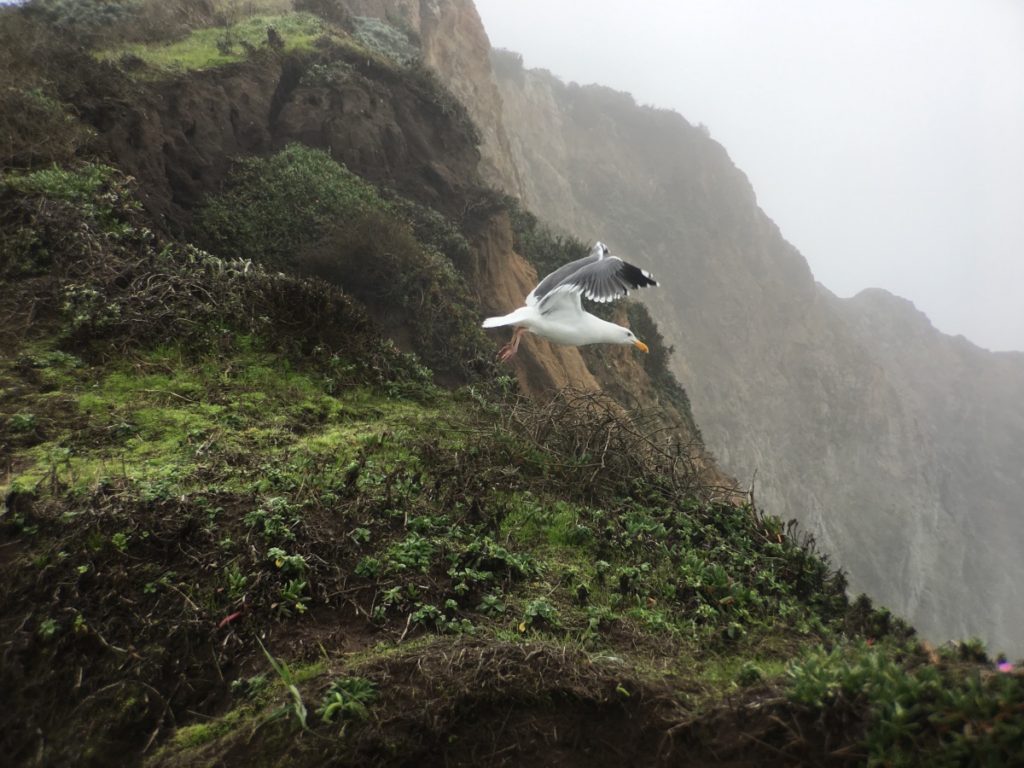
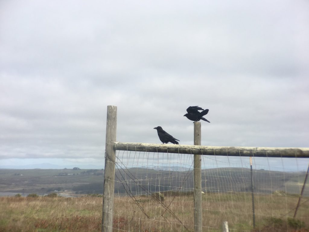
As we set out from Pierce Point Ranch, I started to wonder if maybe this hike wasn’t worth the long drive to the trailhead. We could hear the ocean, but we couldn’t see it. About a mile in, I spotted several elk! This was exciting! At least if we couldn’t see the ocean, we would see wildlife! A short while later we saw some deer, more elk, quails scurrying along the trail, and a coyote.
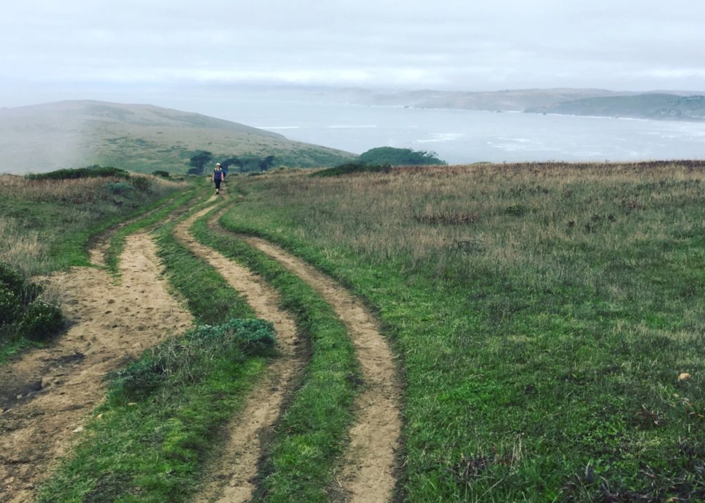
This trail is pretty easy – the ups and downs amount to over 1000 feet of elevation change, but it didn’t feel like all that much. We meandered along the rolling terrain for a couple more miles. Eventually, as we neared the point, the trail turned to sand and we started to see a number of other hikers.

We took a short break when we reached the actual point. The fog finally began to burn off and we were able to see the coastline on the other side of Tomales Bay.
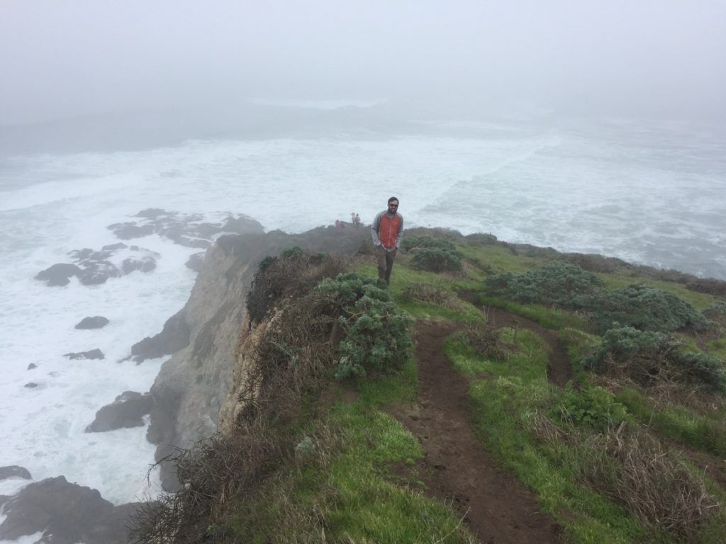
The hike back to Pierce Point Ranch was crowded as a lot more people were making their way out to the point. The return hike also felt much shorter – probably because we were out of the fog tunnel and could finally take in some of the views.

More Info:
- The National Park Service has a Trail Guide & Suggested Hikes with information for this hike and others in the area.
- Additional info on Tule Elk can be found at this NPS website.
- Tom Harrison makes a map for Point Reyes National Seashore:
