Jack London State Park – Mountain Trail

We hiked the Mountain Trail towards the top of Sonoma Mountain – a seven mile hike with over 1500 ft of elevation gain. It doesn’t quite reach the top which is outside of the park boundary, but it’s nonetheless a great hike.

00

It has been far too long since we’ve had a chance to get out and hike.  Work and other commitments have taken up way too much of our time.  We have plans to go to Yosemite in a few weeks – let’s hope the government is back up and running by then.

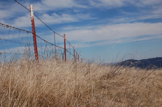
While visiting friends and family in Sonoma County last weekend, we made plans to stop at Jack London State Park.  We hiked the Mountain Trail towards the top of Sonoma Mountain – a seven mile hike with over 1500 ft of elevation gain.  It doesn’t quite reach the top which is outside of the park boundary, but it’s nonetheless a great hike. Continue reading “Jack London State Park – Mountain Trail”

Hood Mountain & Gunsight Rock

Basics: This hike takes you up over the top of Hood Mountain to an overlook called Gunsight Rock. On a clear day, the overlook provides sweeping views of the Sonoma Valley. There are multiple trails in Hood Mountain Regional Park – this trip can be anywhere from 6 to 8+ miles depending on your route. Parking is $6 and maps are provided at the trailhead. Dogs are allowed on all the trails. Continue reading “Hood Mountain & Gunsight Rock”

Bald Mountain

Basics: This hike is to the top of the 2729-ft Bald Mountain in Sugarloaf Ridge State Park.  From the top you’ll have views of the Napa and Sonoma Valleys along with the San Francisco Bay Area and many of the nearby peaks.  This hike is approximately 6 miles roundtrip.  The parking fee is $8.  Potential hazards include: rattlesnakes, sun exposure. Continue reading “Bald Mountain”

Mount Saint Helena

This is a hike to the highest peak (4339 ft) in Sonoma County, though it’s only about 1500 ft or so away from the Napa County line. The hike is 10.2 miles roundtrip, with an elevation gain for around 2300 ft.

In honor of Robert Louis Stevenson’s 160th birthday today, we are proud to present the first post ever on our blog.  This trail is located in Stevenson’s own California State Park, where he lived in a cabin and wrote The Silverado Squatters.

Summary: This is a hike to the highest peak (4339 ft) in Sonoma County, though it’s only about 1500 ft or so away from the Napa County line.  This trail follows a gently graded fire road, so in cool weather it’s fairly easy despite the distance.  The hike is 10.2 miles roundtrip, with an elevation gain for around 2300 ft.  Parking is free on the side of the road.

Continue reading “Mount Saint Helena”