On August 21st at about 10 in the morning, the moon cast its shadow across northern Oregon. In the weeks leading up to this solar eclipse, several unfortunate events caused the closure of virtually all designated wilderness areas along the PCT in the path of totality. (The excuse was fire danger, but it was most likely due to the hysteria surrounding the apocalyptic amount of visitors Oregon was predicting for the eclipse.) We had originally planned to be somewhere on the PCT, but in a short amount of time we needed to come up with an alternative. With the help of Google Maps, we randomly settled on the Strawberry Mountain Wilderness. Continue reading “Strawberry Mountain Wilderness Loop”
Author: Rob
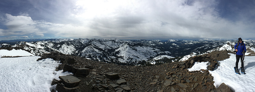
Tinker Knob in the Winter
When our friends booked out the Lost Trail Lodge for a weekend, we jumped at the opportunity to explore some new terrain. Apparently it’s called the Lost Trail because nobody goes there. I can confirm that very few people venture back in Coldstream Canyon, compared to other places in the Tahoe area. The only tracks we followed all day were from snowmobiles. Continue reading “Tinker Knob in the Winter”
Red Lake Peak
On this day in 1844, John C. Fremont and Charles Preuss summited Red Lake Peak. It wasn’t a particularly impressive climb, or circumstance; it was however the first documentation of an identifiable peak climbed in the Sierra. Surely many people climbed peaks before this, but since this blog is a place where we document climbs of peaks (and other hikes), the 171st anniversary of the first documented peak climb seems significant. In any case, repeating this climb seemed like the best possible way to spend a Valentine’s Day. Continue reading “Red Lake Peak”
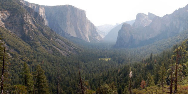
Artist Point from Bridalveil Fall Trailhead
I feel like I shouldn’t be writing about this hike. Hiking in California can be so crowded sometimes, especially in a place like Yosemite. It’s great that so many people can come see this natural wonder in our backyard, but sometimes it would be nice if the trails weren’t so busy. When you discover a trail with as much solitude as this one, it’s tempting to keep it to yourself. On the one hand, this trail isn’t a big secret – you can actually see it from the highway. And as far as my feelings on crowds go, I’m just lucky to have such easy access to an amazing place that many people travel halfway around the world to see.
Continue reading “Artist Point from Bridalveil Fall Trailhead”
White Mountain Peak
At 14,252-ft, White Mountain Peak is the third tallest peak in California. It is located in the White Mountain range, east of the Sierra Nevada in Mono County. The peak is often considered California’s easiest 14er. A dirt road goes all the way to the summit. Some people reach the top on mountain bikes. The hike is a long one though – 14 miles roundtrip with approximately 2000-ft of elevation gain. Hikers are often defeated and turned back by extreme winds or the high altitude. It is by no means an easy walk. Continue reading “White Mountain Peak”
Amazing Planning Tool: CalTopo
Sometimes great things go undiscovered for a long time. I recently discovered this awesome website that I wish I had found much earlier. CalTopo is the ulitmate topographic planning tool for all your adventures; it’s no surprise that it was made by a dedicated search and rescue team member. Continue reading “Amazing Planning Tool: CalTopo”
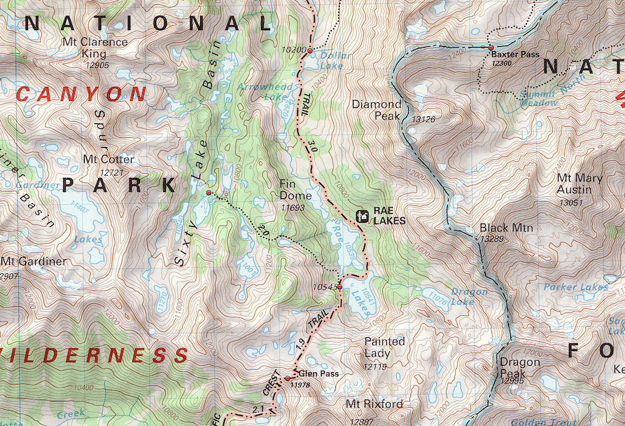
How to Download (and use) Topo Maps
It’s important to be able to read a map if you think you are hiking somewhere that you might get lost. It’s equally important to bring the map with you on your hike. While I must say Tom Harrison makes some mighty fine plastic topo maps, they aren’t available for every possible location. So this post will hopefully point you to the info you need to plan your next hike.
Four Mile Trail, Sentinel Dome, Panorama Trail, Liberty Cap and Mist Trail… In One Day
In John Muir’s book The Yosemite, there is a chapter near the end entitled “How Best to Spend One’s Yosemite Time”. This post focuses on the first listed single day excursion – the quintessential day hike in Yosemite. It’s about 20 miles total, with about 6,500 feet of elevation gain – longer and more difficult than a round trip up Half Dome.
In the Footsteps of John Muir [Part I]
In John Muir’s book The Yosemite, there is a chapter near the end entitled “How Best to Spend One’s Yosemite Time”. The chapter describes several hikes, just as a modern blog would. He describes two single day excursions, two 2-day excursions, a 3-day excursion, and a grand several week excursion (not the JMT). This post focuses on the first listed single day excursion – the quintessential day hike in Yosemite. It’s about 20 miles total, with about 6,500 feet of elevation gain – longer and more difficult than a round trip up Half Dome. Continue reading “Four Mile Trail, Sentinel Dome, Panorama Trail, Liberty Cap and Mist Trail… In One Day”
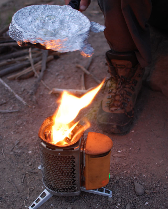
Thoughts on my BioLite CampStove: a Review
Disclaimer: This review is not sponsored. The only money I could possibly (but most likely won’t) make is by the link at the bottom if somebody decided to purchase the stove. I do not intend to persuade you one way or another – this piece of gear has some significant pros and cons. Because a lot of people have asked me how I like it, I’ve decided to share some of my thoughts here.
Continue reading “Thoughts on my BioLite CampStove: a Review”
Inspiration Point, Artist Point, and the Old Wawona Road
We had big plans for hiking in Yosemite (on the order of twenty miles or so), but the summer heat defeated those plans. With little more than wet rocks in place of raging waterfalls, I wanted to go on a hike away from the crowds, and with a little bit of history. This hike fit that bill perfectly, even if it was a bit ad-lib. Continue reading “Inspiration Point, Artist Point, and the Old Wawona Road”