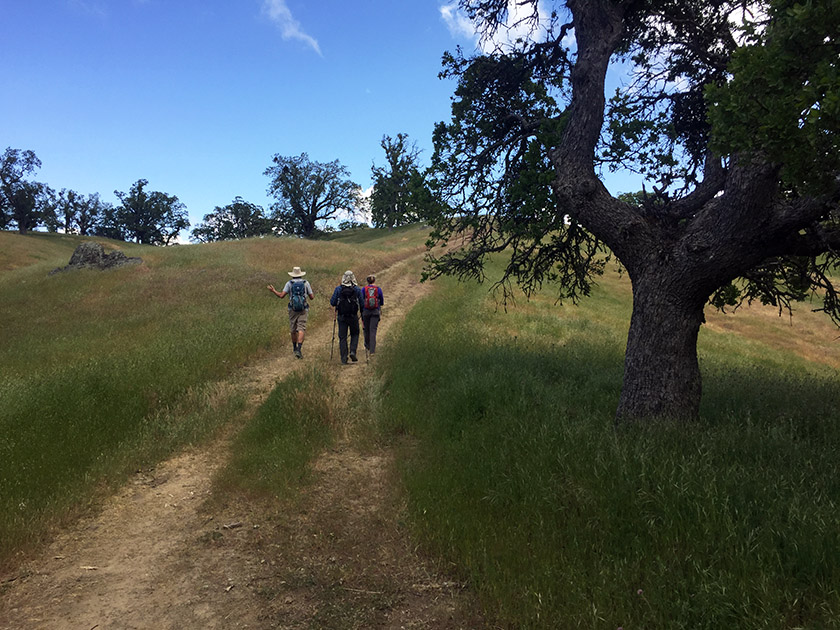
The Ohlone Wilderness Trail connects Del Valle Regional Park (just south of Livermore) to Mission Peak Regional Preserve (in Fremont). The trail is 28 miles long with 7,100 feet of elevation gain including Rose Peak and Mission Peak.
Rose Peak, Mission Peak & 28 miles of Trail in Two Days
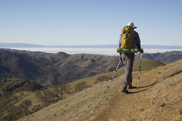
Basics: The Ohlone Wilderness Trail connects Del Valle Regional Park (just south of Livermore) to Mission Peak Regional Preserve (in Fremont). It passes through Ohlone Regional Wilderness and Sunol Regional Wilderness, as well as some land owned by the San Francisco Water District where you’re not allowed to leave the trail. The trail is 28 miles in length, not including short detours to campsites or to the top of Mission Peak. There are many out-and-back options for hiking in this area. A shuttle or other transportation arrangement is required to thru-hike the entire 28 miles. Continue reading “Ohlone Wilderness Trail”
37.5785282-121.6977882