Backpacking Yosemite’s Eagle Peak

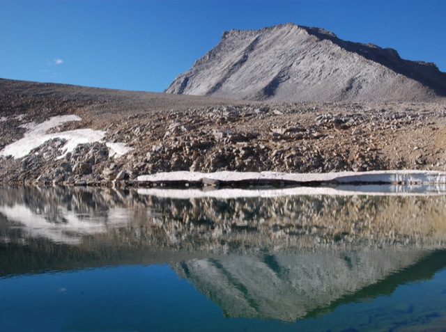
After spending an entire weekend at home, we were extremely sick of house projects and decided the following weekend should be spent outdoors! And why not in Yosemite? It can be surprisingly easy to get a permit for the Yosemite backcountry in the summertime… if you’re not trying to hike the JMT.  And if you’re not picky. That said, it did take me about 50 attempts before I was actually able to get through to the permit office on the phone. Continue reading “Backpacking Yosemite’s Eagle Peak”

Rockbound Pass: Desolation’s Desolate Side

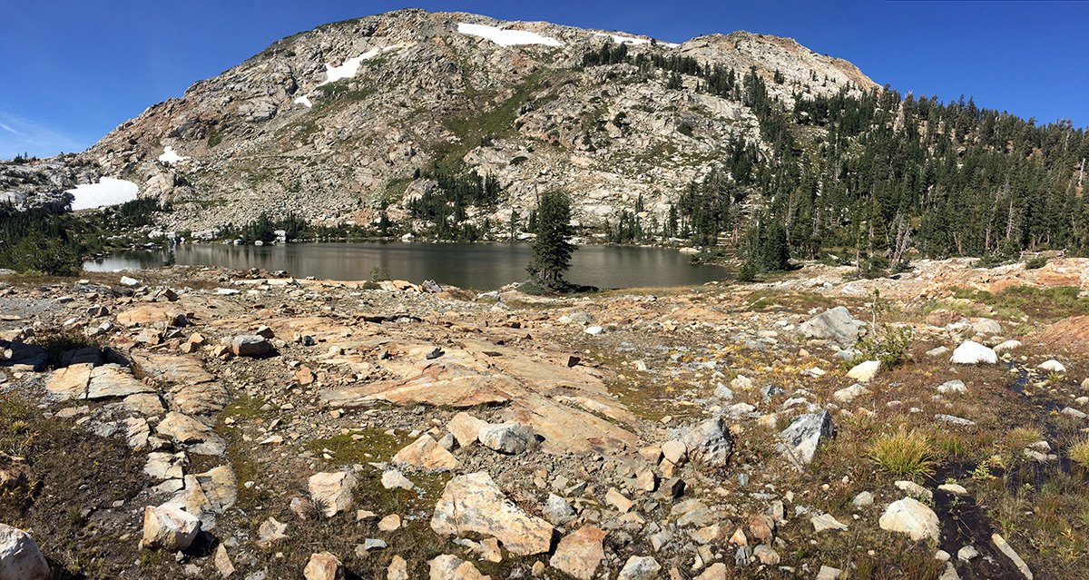
Desolation Wilderness is one of the most heavily used wilderness areas in the country. It can be difficult to find solitude, especially if you’re hiking to Lake Aloha or up Pyramid Peak on a summer weekend. The hike over Rockbound Pass is far less crowded than many of the trails on the eastern side of the wilderness. This 24-mile loop offers some of Desolation’s best scenery with numerous alpine lakes and stunning views of the Crystal Range. Continue reading “Rockbound Pass: Desolation’s Desolate Side”

Strawberry Mountain Wilderness Loop

On August 21st at about 10 in the morning, the moon cast its shadow across northern Oregon. In the weeks leading up to this solar eclipse, several unfortunate events caused the closure of virtually all designated wilderness areas along the PCT in the path of totality. (The excuse was fire danger, but it was most likely due to the hysteria surrounding the apocalyptic amount of visitors Oregon was predicting for the eclipse.) We had originally planned to be somewhere on the PCT, but in a short amount of time we needed to come up with an alternative. With the help of Google Maps, we randomly settled on the Strawberry Mountain Wilderness. Continue reading “Strawberry Mountain Wilderness Loop”

Sykes Hot Springs

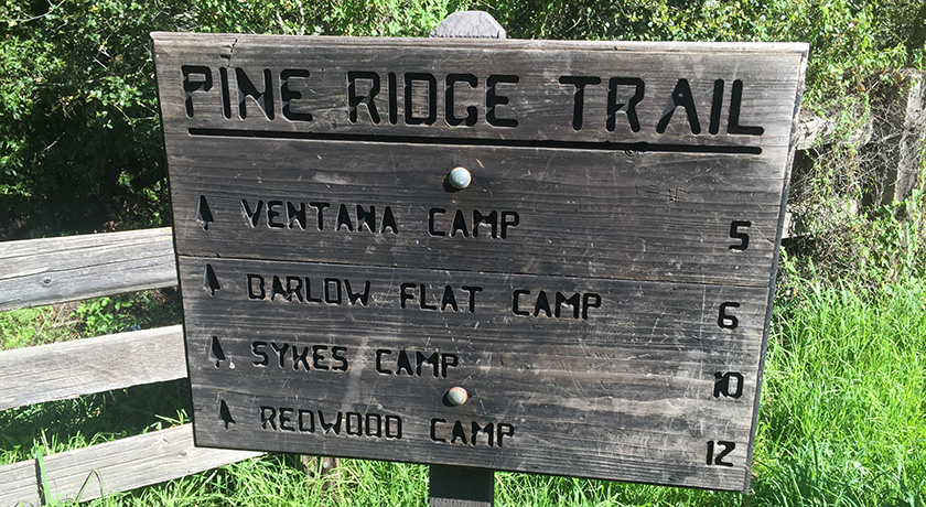
The shortest route to Sykes Hot Springs is a 10 mile trek along the Pine Ridge Trail. The springs are deep in the Ventana Wilderness, but a visit to Sykes is not much of a wilderness experience at all. On any given weekend, dozens (if not hundreds) of people are out on this trail with Sykes as their destination. Continue reading “Sykes Hot Springs”

Yosemite’s North Rim

In the Footsteps of John Muir [Part II]

John Muir described two single day Yosemite hikes in Chapter 12 of his book The Yosemite. The chapter is titled “How Best to Spend One’s Yosemite Time.” By today’s standards, these hikes are very difficult – about 20 miles with around 5000-ft of elevation gain.  We followed his advice and completed the first recommended hike back in October 2013.  It was probably the hardest day hike we’ve ever done.  We were game for the second one. Muir’s second single day hike takes you up Yosemite Falls to Eagle Peak, over to the top of El Capitan, then back down to the Valley via the (now abandonned) Old Big Oak Flat Road Trail (OBOFRT).  Continue reading “Yosemite’s North Rim”

Point Reyes – Mount Wittenberg, Glen Camp & Arch Rock

00

Point Reyes National Seashore offers a vast network of hiking trails, four backcounty campgrounds, and plenty of opportunity to get outside.  It’s possible to bike, ride a horse, trail run, or kayak all around this area.   On this particular trip, we hiked to the highest point in the area (not worth it), camped at one of the four backcountry campgrounds, and visited the very popular Arch Rock.  We hiked approximately 16 miles (9 miles on Day 1 and 7 miles on Day 2).  We spent most of the weekend in dense forest – no sweeping ocean views.  It was not what I expected but it turned out to be a relaxing weekend with beautiful scenery. Continue reading “Point Reyes – Mount Wittenberg, Glen Camp & Arch Rock”

Mt Tamalpais via the Steep Ravine Trail

If you wanted to, you could drive almost to the top of Mt. Tamalpias. But if you want to really climb Mt. Tam, then start from the ocean. This hike leaves from Stinson Beach and climbs the Steep Ravine trail up to East Peak, then loops back on the north side. The grand total is over 16 miles, and a few thousand feet of elevation gain.

00

Basics:  This hike climbs from Stinson Beach to the East Peak of Mt Tamalpais.  It’s a long one – we hiked it as a loop totaling over 16 miles round trip.  We reached the top via the Steep Ravine Trail, Matt Davis Trail and Old Railroad Grade road.  We returned on the International Trail, Northside Trail, Bay Area Ridge Trail and Matt Davis Trail (among others).  Mt Tam has an amazingly large and well developed network of trails and roads.  There are many options.  Everything is well-signed, but unless you know where you are going, bring a map! Continue reading “Mt Tamalpais via the Steep Ravine Trail”

Four Mile Trail, Sentinel Dome, Panorama Trail, Liberty Cap and Mist Trail… In One Day

In John Muir’s book The Yosemite, there is a chapter near the end entitled “How Best to Spend One’s Yosemite Time”. This post focuses on the first listed single day excursion – the quintessential day hike in Yosemite. It’s about 20 miles total, with about 6,500 feet of elevation gain – longer and more difficult than a round trip up Half Dome.

In the Footsteps of John Muir [Part I]

00

In John Muir’s book The Yosemite, there is a chapter near the end entitled “How Best to Spend One’s Yosemite Time”. The chapter describes several hikes, just as a modern blog would. He describes two single day excursions, two 2-day excursions, a 3-day excursion, and a grand several week excursion (not the JMT). This post focuses on the first listed single day excursion – the quintessential day hike in Yosemite. It’s about 20 miles total, with about 6,500 feet of elevation gain – longer and more difficult than a round trip up Half Dome. Continue reading “Four Mile Trail, Sentinel Dome, Panorama Trail, Liberty Cap and Mist Trail… In One Day”

Shepherd Pass and Mount Tyndall

34_000

Back in 2010 when we hiked the John Muir Trail, we took a one day detour to the base of Mount Tyndall with hopes of climbing it. In the morning, we scrambled about halfway up the North Rib before deciding to turn back. I think we didn’t climb the mountain for several reasons: we didn’t do any research and weren’t sure of the route, we still had many miles yet to go (with limited food), we had no helmets (the rocks were very loose), and it was freezing cold which gave us a late start on the climb.  Perhaps I’m just making excuses, but it just didn’t seem like a good idea at the time.  Unfortunately, our failure to summit bothered us until we finally decided to return and finish what we started. Continue reading “Shepherd Pass and Mount Tyndall”