On August 21st at about 10 in the morning, the moon cast its shadow across northern Oregon. In the weeks leading up to this solar eclipse, several unfortunate events caused the closure of virtually all designated wilderness areas along the PCT in the path of totality. (The excuse was fire danger, but it was most likely due to the hysteria surrounding the apocalyptic amount of visitors Oregon was predicting for the eclipse.) We had originally planned to be somewhere on the PCT, but in a short amount of time we needed to come up with an alternative. With the help of Google Maps, we randomly settled on the Strawberry Mountain Wilderness. Continue reading “Strawberry Mountain Wilderness Loop”
Tag: loop
Las Trampas Regional Wilderness: Rocky Ridge View Trail
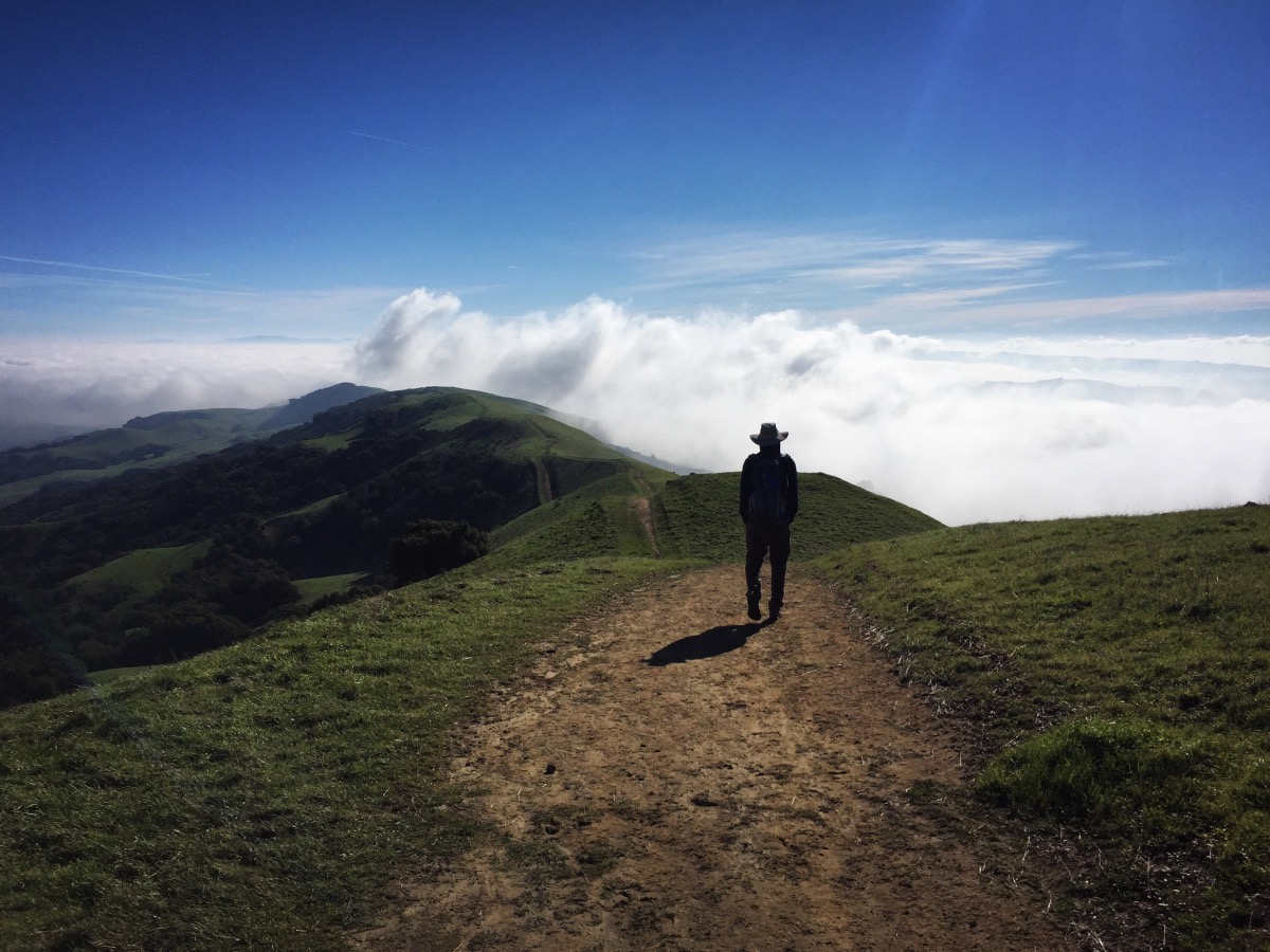
It wouldn’t be an East Bay Regional Park if there weren’t cattle grazing alongside the trail. Despite the cows, Las Trampas is a nice park. It offers easy access to a large network of trails in steep terrain. It’s particularly scenic in the winter when the grass is green. Continue reading “Las Trampas Regional Wilderness: Rocky Ridge View Trail”
Dipsea, Steep Ravine and Matt Davis Trail Loop
A good friend of ours is moving back to the East Coast this week. She wanted to spend one of her last few weekends in California seeing some sights. It’s a long drive to Stinson Beach (from almost anywhere), but this hike was a great choice. It has redwoods, waterfalls and ocean views. All very California. Continue reading “Dipsea, Steep Ravine and Matt Davis Trail Loop”
Falls Trail Loop at Mount Diablo
For anyone who has hiked in Mount Diablo’s blistering summer heat, it seems almost impossible that there could be even a single waterfall on that mountain, much less an entire trail dedicated to numerous falls. The Falls Trail is a 1.15 mile point-to-point trail located somewhere amongst the maze of paths on Mount Diablo’s north slope. We hiked the Falls Trail as part of a 7-mile loop, beginning and ending at the Mitchell Canyon Visitor Center. Continue reading “Falls Trail Loop at Mount Diablo”
Mount Diablo’s Four Summits
This is probably one of, if not the most difficult day hike in the Bay Area. Reaching all four of Diablo’s summits requires a full day – it’s 15 strenuous miles with over 6000-ft of elevation gain. We knocked this out in 8 hours. And yes, my legs hurt the next day. Continue reading “Mount Diablo’s Four Summits”
Cataract Trail Loop
Cataract Falls is a mile long series of small cascades, tumbling through a steep redwood-lined gully in the Mount Tamalpais watershed. The Cataract Trail loop is about 7 miles, beginning at the falls and ending at the falls. This is the kind of trail that’s perfect for a rainy day when you’re itching to get outside. Continue reading “Cataract Trail Loop”
Briones Regional Park
If you’re looking for a wild and rugged place to hike, Briones Regional Park is not it (unless you consider cows to be “wildlife”). The park does offer a substantial network of trails within the heart of Contra Costa County. Rolling grassy hills provide spectacular views of Mount Diablo, the Carquinez Strait and the surrounding suburbs. Briones is one of the many parks managed by the East Bay Regional Park District. At 6000+ acres, it’s easy to hike or run 10+ miles if you’re looking for a challenge. The trails which are mostly wide fire roads, are both dog friendly and mountain bike friendly. We walked a 6-mile loop through oak woodland, to the top of Briones Peak and back down over rolling, sometimes steep terrain. Continue reading “Briones Regional Park”
Point Reyes – Mount Wittenberg, Glen Camp & Arch Rock
Point Reyes National Seashore offers a vast network of hiking trails, four backcounty campgrounds, and plenty of opportunity to get outside. It’s possible to bike, ride a horse, trail run, or kayak all around this area. On this particular trip, we hiked to the highest point in the area (not worth it), camped at one of the four backcountry campgrounds, and visited the very popular Arch Rock. We hiked approximately 16 miles (9 miles on Day 1 and 7 miles on Day 2). We spent most of the weekend in dense forest – no sweeping ocean views. It was not what I expected but it turned out to be a relaxing weekend with beautiful scenery. Continue reading “Point Reyes – Mount Wittenberg, Glen Camp & Arch Rock”
Schulman Grove Loop – Ancient Bristlecone Pine Forest
This 4 mile loop snakes through one of several bristlecone pine groves in the White Mountains of California. The bristlecones are the oldest living trees (and the oldest living anything) on earth! This trail is pretty far “out there,” but these trees are incredible and definitely worth a visit. The hike itself is at 9,500 to 10,500-ft elevation and has several hundred feet of up and down. There is a visitor center at the trailhead. There is also an option for a shorter 1 mile loop with equally spectacular views of the ancient bristlecones. Continue reading “Schulman Grove Loop – Ancient Bristlecone Pine Forest”
Round Top and Winnemucca Lake
Climbing to the top of Round Top is an interesting hike – it starts of very mellow/easy and gets progressively more difficult as you get closer to the summit. The final 100′ or so are considered an easy Class 3. This hike is located in the Carson Pass Management Area (part of the Mokelumne Wilderness), just south of Highway 88 near Kirkwood Mountain Resort. The beginning of the hike is crowded – many people simply hike up to Winnemucca Lake (a worthy destination in itself) – but far fewer people reach the summit of Round Top. When hiked as a loop, this trip is approximately 6.5 miles with 2000 ft of elevation gain. There are many trail signs; if one knows which general direction to head in, it’s nearly impossible to get lost.