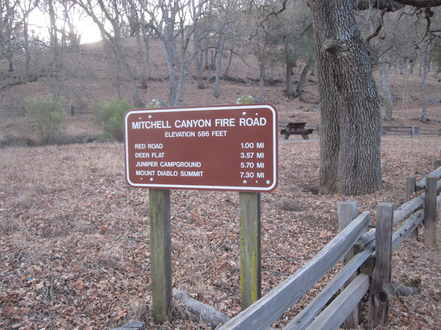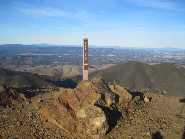
Basics: This is a 14 mile hike to the top of Mt Diablo from Mitchell Canyon (on the northern side of the mountain). There are many trails and many different options for hiking to the top, but all of them will require over 3000 ft of climbing. Our particular route also took us to the top of Eagle Peak (elev 2369′). Two peaks in one long hike! The trail begins at Mitchell Canyon Interpretive Center – located at the end of Mitchell Canyon Road in the city of Clayton. Parking is $6.
[map kml=”http://www.norcalhiker.com/maps/Mt_Diablo.kml” download=”no” elevation=”yes” style=”width:100%; height:400px” /]Note: GPS based distance is approximate. Download gpx of this route. Download kml of this route.
Trail Description: I wanted to hike Pyramid Peak in Desolation Wilderness, but the forecast said something about 45 mph wind gusts, so Rob talked me out of it. Instead, he suggested we hike to the top of Mt Diablo. Summer hiking at Mt Diablo can be brutal (hot, no water sources, steep trails, hot), so it seemed like the ideal winter hike.

We drove to the trailhead at Mitchell Canyon, located on the northern side of the peak. We were the first people there. We paid our $6, bundled up (it was still frosty outside) and started walking up the trail. Almost immediately we saw a huge flock of turkeys! We followed trail signs for Eagle Peak. There are so many different trails, it’s helpful to have a map. It wasn’t long before the single track trail began climbing. Luckily, it was still somewhat cold outside – especially with the wind – so the hiking didn’t feel too strenuous. The views started opening up as we got higher. Before we knew it we were at the top of Eagle Peak!

We didn’t stop at Eagle Peak – we continued onwards down a steep and narrow trail. We made it to a junction with the Meridian Ridge fire road. We stopped for a short break and some snacks. Instead of following the fire road up to the peak (which is certainly one option), we headed up the Bald Ridge Trail. This trail gained elevation steadily until we reached another junction with a fire road. At this junction, a trail splits off going towards North Peak. We headed in the other direction towards the main Diablo summit.
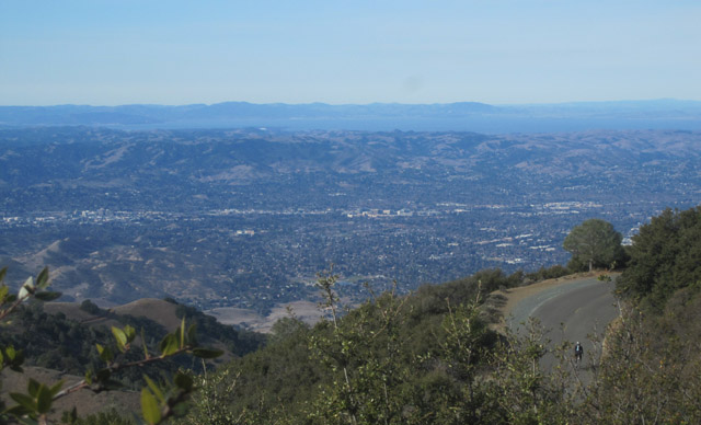
The wind picked up as we neared the top. We reached the lower summit parking lot and Rob was ready for lunch. I wanted to make it to the real summit though, so I convinced him to keep going. Unfortunately when we reached the top, the wind was way stronger than anywhere else. We couldn’t find a good lunch spot, so almost immediately we headed back down to the lower parking lot. The wind did clear up the air and we could see the Golden Gate on one side and the Sierras on the other.

After finishing our lunch at a picnic table on the edge of the empty parking lot, we headed down a trail on the western side of the mountain. We descended steeply towards the Juniper campground. This was the only section of trail where we saw a lot of people. From the campground we followed a series of fire roads (Deer Flat Rd to Meridian Ridge to Mitchell Canyon Fire Rd) all the way back to our car. When we got close to the parking lot we saw the huge flock of turkeys again! I guess they didn’t move very far over the course of the day.
More Info: There’s a cartooney but fairly comprehensive trail map in the pdf brochure for Mt. Diablo SP. If you plan to visit this park a lot, there’s a better trail map available at REI:

