
When our friends booked out the Lost Trail Lodge for a weekend, we jumped at the opportunity to explore some new terrain. Apparently it’s called the Lost Trail because nobody goes there. I can confirm that very few people venture back in Coldstream Canyon, compared to other places in the Tahoe area. The only tracks we followed all day were from snowmobiles.
Tinker Knob can be hiked from Donner Summit (7 miles) or from Squaw Valley (8 miles), but we hiked it from Coldstream Canyon. Luckily we left from the Lost Trail Lodge – already halfway up the canyon – so our hike was approximately 4 miles (one way). It would be about 6 miles from the summer Lost Trail parking lot, or 8 from the winter parking area.
Tinker Knob was named after J.A. Tinker, a man from Soda Springs who hauled gear for miners. Apparently the name was a humorous reference to his nose.
Directions to Trailhead: To complete this hike in the winter, one must park at the end of Cold Springs Road near Donner Pond. In the summer, you can drive most of the way to the Lost Trail Lodge. It took less than two hours to reach the lodge from where we parked. If we hadn’t spent the weekend at the lodge, our hike would have been 8 miles and 4 hours longer. Google Maps link to trailhead.
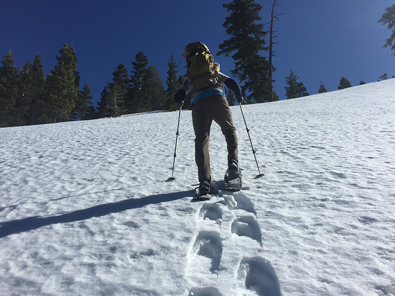
Trail Description: We left the Lost Trail Lodge before anybody else was awake, at about 8:20 am. I guess it was a late night. The snowcat road was still frozen and the deep ruts were hard to walk on. We started off without our snowshoes, but it was slow and difficult.
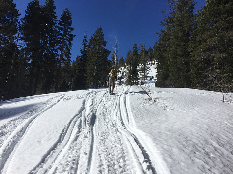
After about a mile on the snowcat road, our path turned in to a snowmobile trail. We put our snowshoes on. So far, everything had gone according to plan and according to our map. After about a half mile, the snowmobile trail we were following started to diverge in multiple directions. We tried to follow the most prominent track. This put us out onto an open ski resort style slope, where the snowmobiles went straight up the hill. I looked at the map and noticed that we were well above the trail, but if we just contoured around the hill, we’d eventually be back on the correct path.
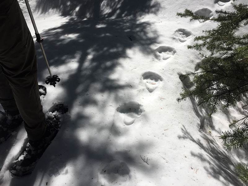
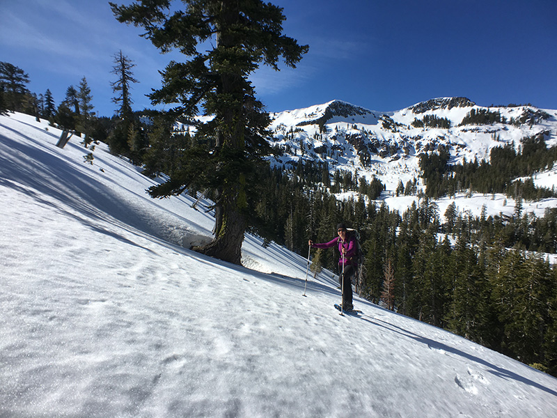
We blazed a nice trail in the now soft and untouched snow. We stumbled across a waterfall and some fresh bear tracks. I suppose after a couple weeks of warmth this bear decided it was time to wake up and explore a little bit.

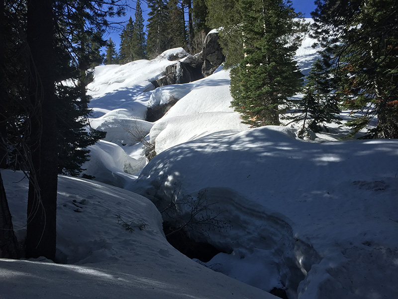
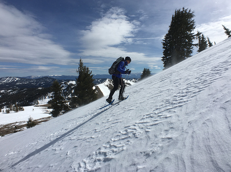
After crossing a creek, easily with a nice snow bridge, we were now much closer to the actual trail. The slope was quite steep, but we decided to go straight up to the ridge, rather than contouring around in a large switchback as shown on the map. As we neared the top, it got quite steep – we probably should have had ice axes.
The ridge had a nice and prominent snowmobile track, a welcome sight after an hour of difficult walking. The rest of our hike followed this track up to the Pacific Crest Trail.
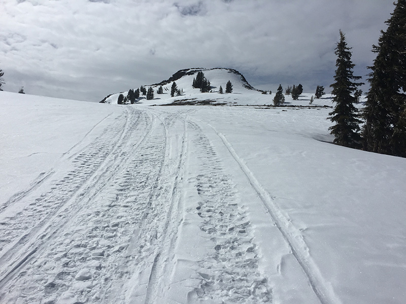
We reached the PCT at mile 1145.9, according to Halfmile’s PCT app. From there it was a very short and steep climb to the summit of Tinker Knob. Hopefully we’ll be here again in early June.
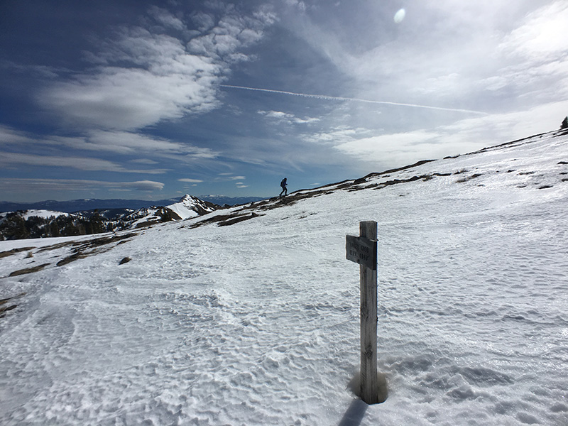
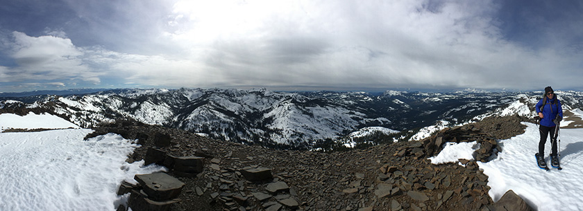
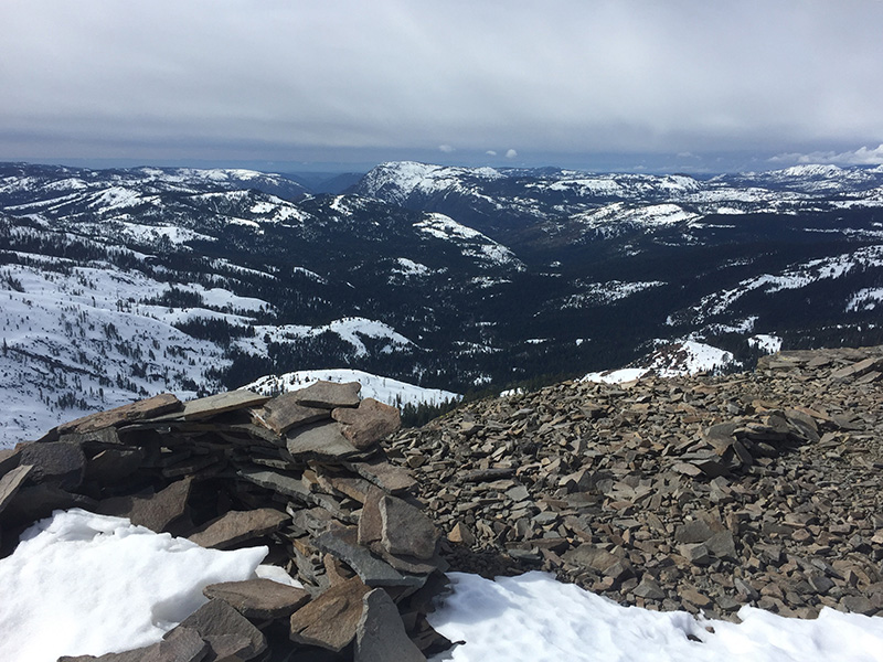
The summit was breathtaking with views to many major Tahoe area peaks: Pyramid, Freel, Tallac, and Castle. We could see Lake Tahoe as well as several prominent peaks on the Coast Range, notably Mt. Diablo and Mt. St. Helena. It took us 5 hours to reach the summit, which was only 5 miles according to the trail sign, or 4 miles according to the GPS. Slow going.
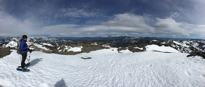
The return trip took only 2.5 hours. Using our knowledge (and mistakes) from the climb, we found a more efficient route going down. The only people we saw all day were some snowmobilers, way up near Anderson Peak on the ridge. It seemed more likely we’d see a bear than a person. Tinker Knob may not look like much from some of the other peaks in the area, but the views from the top are second to none.
More Info: Thanks to the Donner Historical Society, you can read about the first documented female ascent of Tinker Knob in 1873, and the discovery of gold at the summit.