In the Footsteps of John Muir [Part I]
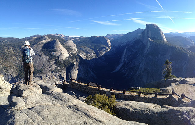
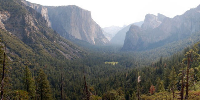
In John Muir’s book The Yosemite, there is a chapter near the end entitled “How Best to Spend One’s Yosemite Time”. The chapter describes several hikes, just as a modern blog would. He describes two single day excursions, two 2-day excursions, a 3-day excursion, and a grand several week excursion (not the JMT). This post focuses on the first listed single day excursion – the quintessential day hike in Yosemite. It’s about 20 miles total, with about 6,500 feet of elevation gain – longer and more difficult than a round trip up Half Dome. Continue reading “Four Mile Trail, Sentinel Dome, Panorama Trail, Liberty Cap and Mist Trail… In One Day”