
Pyramid Peak gets all the attention, but its two sisters in the Crystal Range are definitely worth a visit. Mount Price (9975′) and Mount Agassiz (9967′) can easily be hiked in one day. The Lyons Creek trailhead offers a direct approach to both peaks from the west side. The roundtrip hike is approximately 13 miles with over 3000-ft of elevation gain.
Directions to Trailhead: Wrights Lake Road splits off to the north from Highway 50. The turnoff is approximately 5 miles east of Kyburz. It’s marked with a sign and easy to spot. The Lyons Creek trailhead is 4 miles up Wrights Lake Road. Google map link to trailhead.
Trail Description: It’s summer and California is on fire again. I wasn’t sure if we’d make it up to the mountains because the Kyburz Fire had Highway 50 closed on Thursday and Friday. Fortunately, the fire was brought under control quickly and the road reopened by Saturday night. We left early Sunday morning. We saw many fire trucks, but few signs of the actual fire.
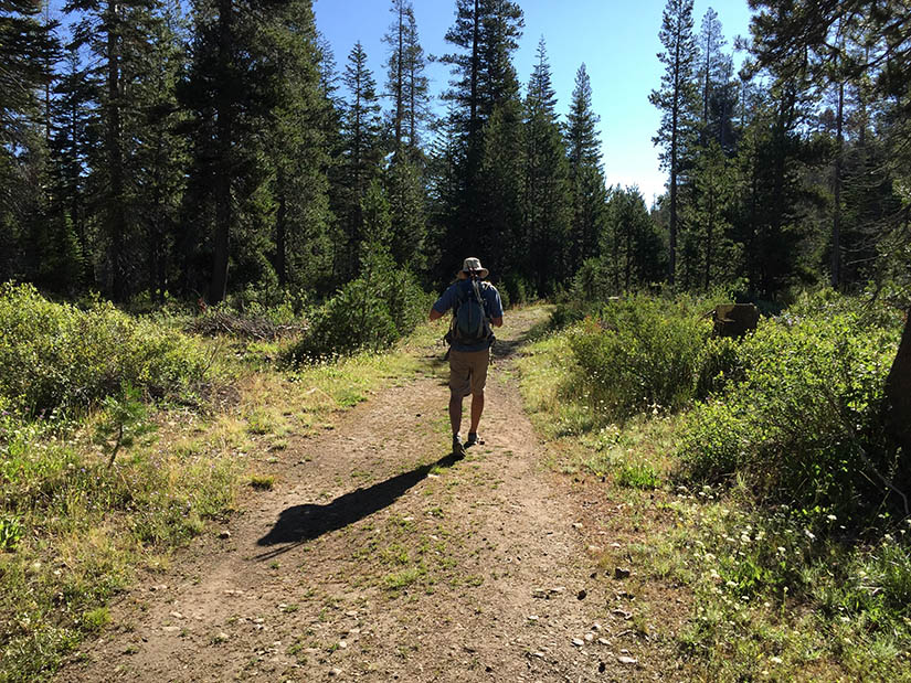
There were plenty of other cars parked at the trailhead, though we saw almost nobody the entire day. The first 5 miles up to Sylvia Lake were flat and went by quickly. We didn’t stop when we reached the lake.
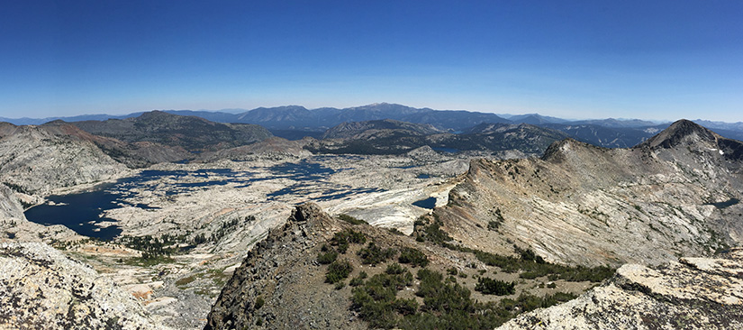
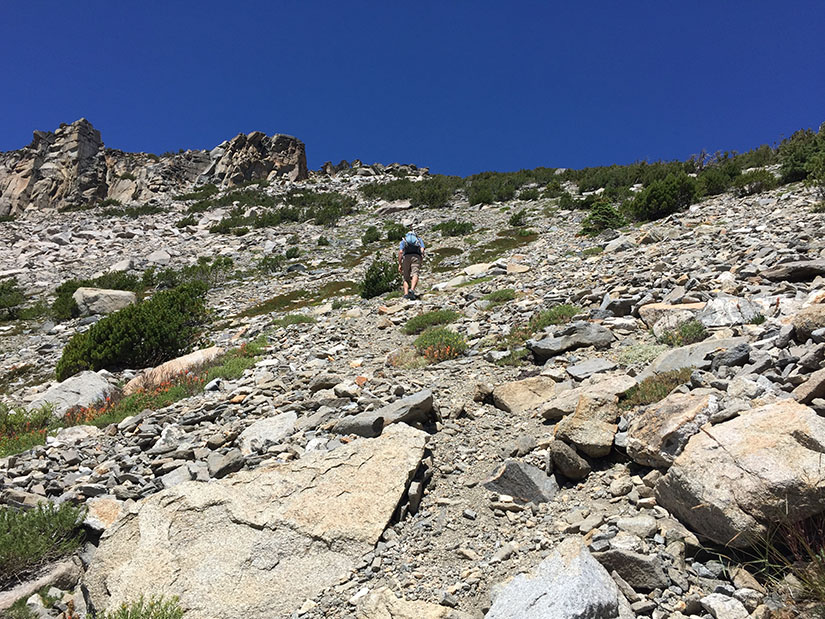
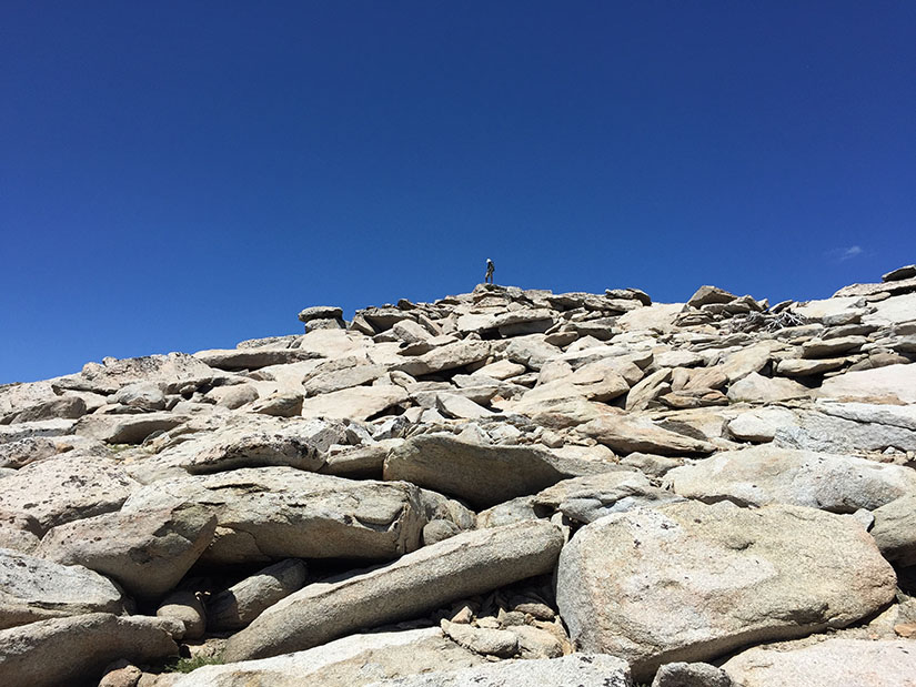
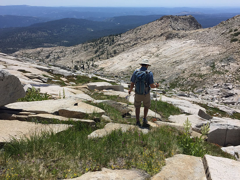
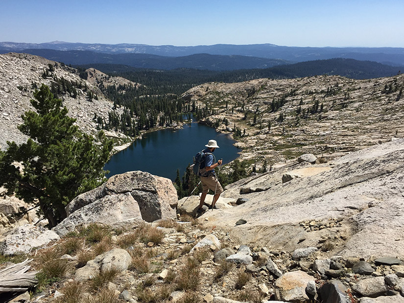
We followed a use trail to the northeast side of the lake, then headed up a creek drainage towards the two unnamed lakes between Pyramid and Agassiz. We couldn’t quite see the summit, but our route became clear as we climbed higher. I was glad we were heading up the grassy meadow and not up the giant pile of talus to our right. (The typical west approach to Pyramid Peak requires climbing that talus slope.)
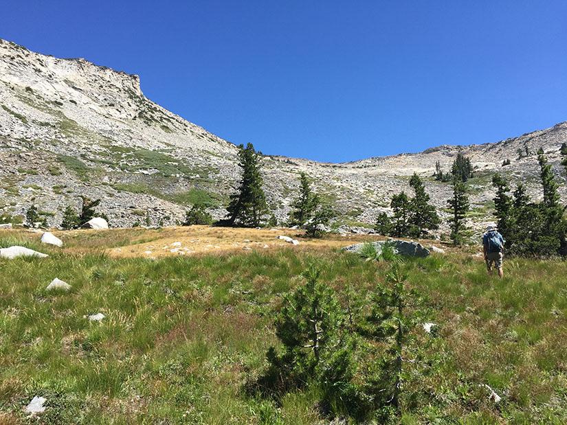
We took a short break somewhere above the small lake at 8760′. I was starting to feel the altitude and it was slowing me down. We still couldn’t see the summit block, but we could see a clear notch on the south side of Mount Agassiz. We headed for this notch, contouring around the mountain to stay on the gentlest slope possible.
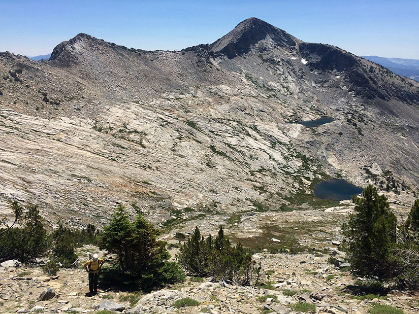
We climbed through the notch and found ourselves on a flatter plateau on the west side of the mountain. We turned to our right and walked just a little further to reach the true summit block. After signing the register, we climbed to the very top and took in the views.
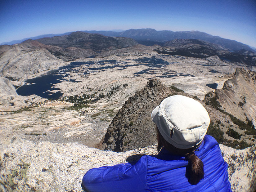
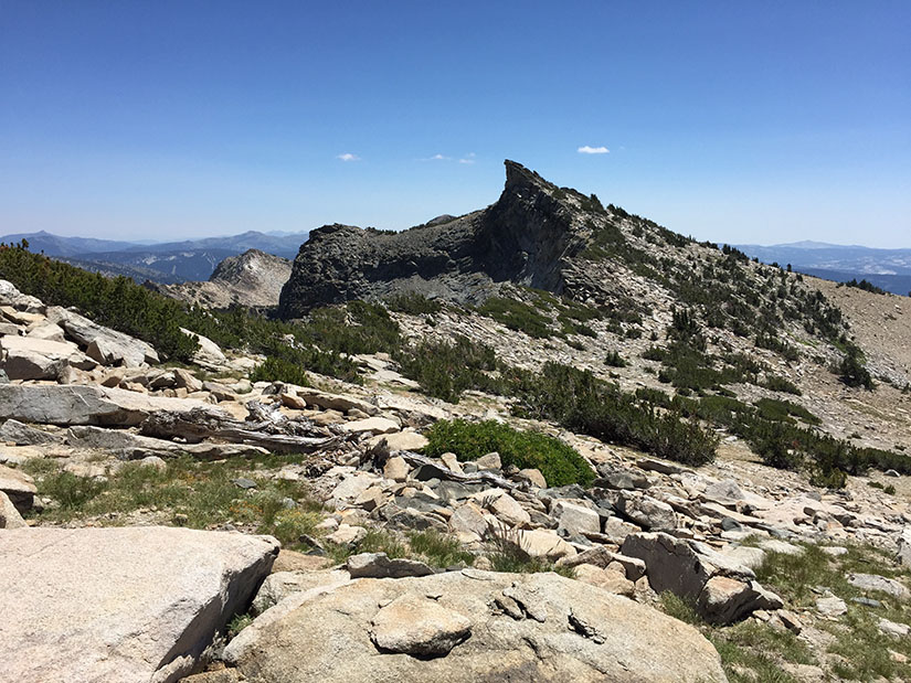
From Mount Agassiz we headed north towards Mount Price. Rob claims that Mount Agassiz is not actually a true peak: it does not have 500-ft of prominence (an arbitrary measure used for peak bagging lists). He referred to it as “Mount Price’s South Peak.” Technically, he might be correct, but I disagree. I mean… look at it:
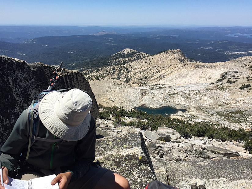
When we reached the top of Mount Price, the wind completely died down. I signed the register while Rob ate his sandwich. I was feeling the altitude and a sandwich did not sound appetizing.
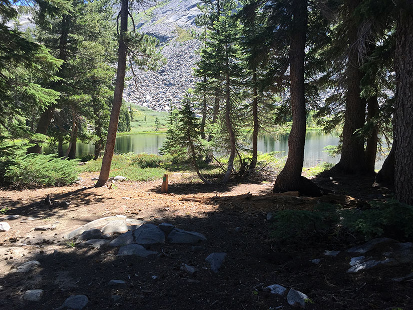
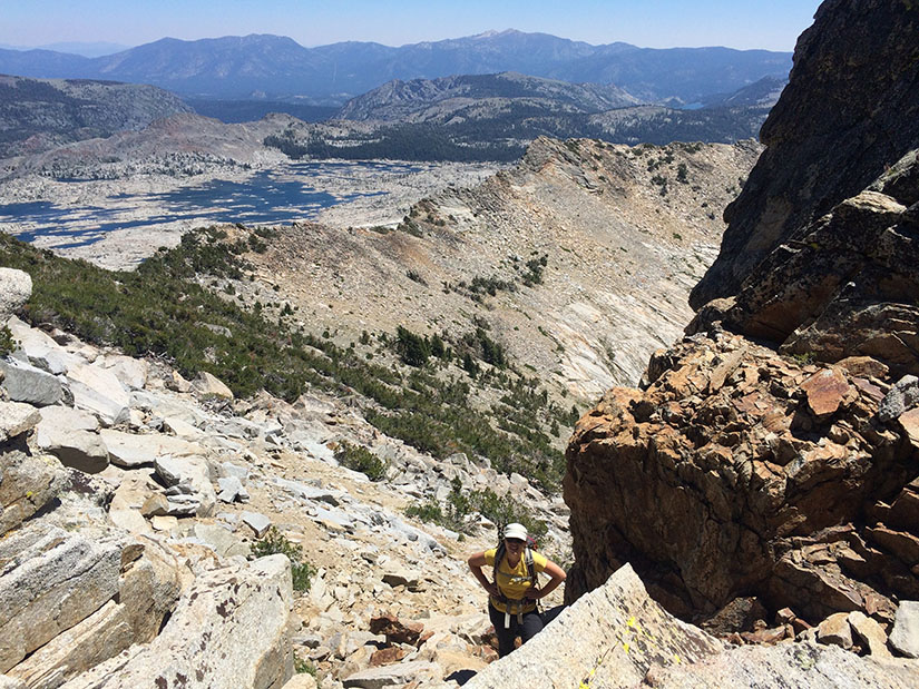
From Mount Price we headed down towards Lyons Lake – making this a lollipop hike. We followed a steep, rocky gully down to the lake.
Once we reached the lake, we joined up with an actual trail again. We stopped for a bit and I finally ate my sandwich. After our break, we covered the remaining 5 miles in under two hours. The total hike took us about 9 hours.
Very nice write-up and pics Rob and Christa. You covered a lot of ground, 13 miles, bouldering, scrambling and climbing. I’m like you Christa, I don’t get hungry when hiking that intense…I just know I need to eat. What were the temps like, you were very exposed it seems? Did you need a permit if overnight? Love to try it sometime.
Thanks tahoemarmot! I couldn’t eat a sandwich but I did eat a few Shot Bloks – I think that’s what kept me going. Temps were probably in the high 60’s during the afternoon. The breeze kept us cool but I did have to use plenty of sunscreen.
Permits are required for both day hikes and overnight. Day hiking permits are self-issued at the trailhead. For overnight hikes, permits can be reserved through Recreation.gov. Both Sylvia and Lyons Lake are in Zone 43. Either lake would make for an awesome easy backpacking trip because the trail to get there is relatively mellow. I think Lyons Lake is the nicer of the two because it has more of an alpine feel to it.
Thanks Christa, I’m putting it on my bucket list! And I live for shot blocks too…adult gummy bears! Fav is Margarita!
Great trip coverage, both with the pictures as well your easy to read storyline. Thank you for taking the time to share your hike with those of us reading this.
I may do this hike within a week or two, now that Covid-19 is relaxing it’s grip on California. I am so stiff from being cooped up for almost 1-1/2 years that getting outside and up to the beauty like this mountain peak offers is just what the doctor ordered for me.
It is early April so the heat will not be a factor. I wonder if snow will be, however. Can you, or anyone, shed some light on this for me. The snow, that is.
Thank you Mike! I haven’t been up there recently, but I think snow will probably be a factor, even though we’re at 60% of normal. We hiked up the Lyons Creek trail in mid-May of 2014 and hit quite a bit of snow as we neared Lake Sylvia. The post is on this page somewhere if you want to see photos. I would check to make sure Wrights Lake road is open before you head up there. I would probably still go for it- especially if you don’t mind hiking in snow. We’ve had some warm days so it may be melted on much of the trail by now, and if the weather stays warm, it should be slushy up on the slopes of the mountains.