For Rob’s birthday (and his one and only week off between school semesters) we wanted to do something kind of epic. After tossing around a few different vacation ideas, we settled on hiking the West Coast Trail – a 75 km trek along Vancouver Island’s beautiful coastline. We spent 6 nights and 7 days on the trail. The following is a description of our experience. (Planning to hike this? Visit our West Coast Trail overview page for more info!)
Our itinerary (made up as we went):
- Day 1: Victoria to Pachena Bay to Michigan Creek, 12 km
- Day 2: Michigan Creek to Tsusiat Falls, 13 km
- Day 3: Tsusiat Falls to Cribs Creek, 16 km
- Day 4: Cribs Creek to Walbran Creek, 11 km
- Day 5: Walbran Creek to Camper Bay, 9 km
- Day 6: Camper Bay to Thrasher Cove, 8 km
- Day 7: Thrasher Cove to Gordon River to Victoria, 6 km
Day 1: Pachena Bay to Michigan Creek, 12 km
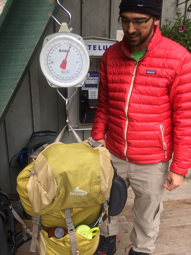
After 6 long hours on the trail bus, we reached the Pachena Bay ranger station by 1:00 pm. The bus driver told us we had made good time – there was no logging traffic and the roads were in exceptionally good condition. We picked up our permits and shuffled gear while we waited for the orientation to begin.
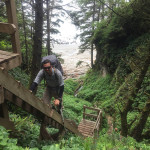
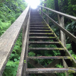
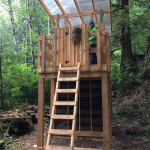
The orientation consisted of a quick presentation about the trail, safety tips and information on how to call for a rescue. By 2:30 pm, we hit the trail along with a dozen other people. Some took the beach route, we headed into the forest. I was eager to climb my first ladder! I did not have to wait long.
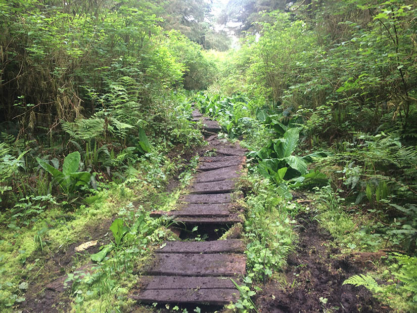
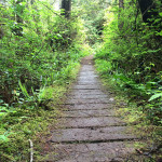
We hiked for several kilometers on the fairly dry trail before Rob decided his gaiters were uncomfortable and unnecessary. As soon as he removed them, we began encountering big puddles of mud. He quickly had mud splatters up to his knees. This made him grumpy.
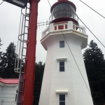
At 10 km, we reached the Pachena Point Lighthouse, built in 1908. We stopped for a snack. The fog had grown heavier and by the time we left the lighthouse, it was misting hard enough for me to put on my rain jacket.
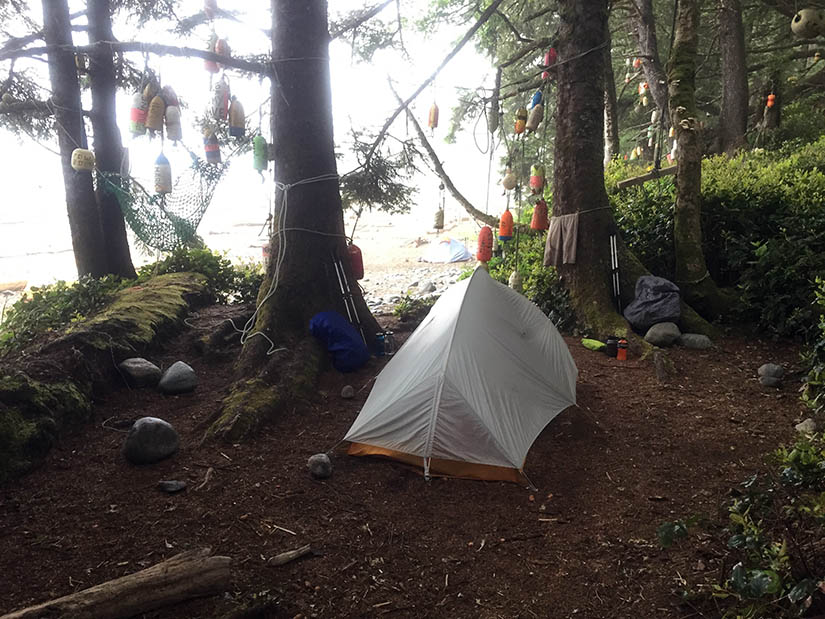
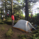
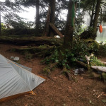
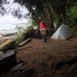
After another 2 km, we reached the Michigan Creek campsite. Dozens of buoys hang from the trees to mark the campground. We picked a site and set up our tent. Shortly after we settled in, a somewhat panicked guy holding several bags of food showed up at our site. He told us there was a big black bear down by the creek and he asked if we knew where the bear lockers were. I pointed him the right direction. Later that evening Rob asked him if that was his first bear encounter. He said no – his first ever bear encounter had occurred the previous day.
Day 2: Michigan Creek to Tsusiat Falls, 13 km
It misted heavily all night. Everything was wet! Fortunately, we had been wise enough to put our boots under the vestibule and leave pack covers on our backpacks. After breakfast, we set on our first beach section of the trail!
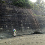
We quickly passed the Darling River camp area – it looked like a nice place to camp. Somewhere past KM 16, we took the beach access trail up into the rainforest. Nice views at Valencia Bluffs (named after the shipwreck). At KM 20, we dropped back down to the beach and followed it all the way to Klanawa River.
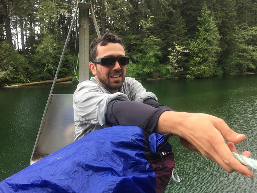
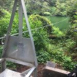
The ranger had told us that Klanawa River could only be crossed by cable car. I was a little nervous. We loaded up our gear, sat down and let go of the rope. As we zoomed towards the middle of the river, Rob looked over towards the ocean and realized that we could have stayed on the beach! The river was dammed up by a big sand berm! He got a good arm workout pulling us up to the other side. (I helped a little too.) As soon as we reached the platform, we realized we were too heavy for the cable car to actually get up over the top of it!! We were butting up against the side. While Rob held us in place, I very carefully climbed out of the cable car, stepped over the big drop, and climbed on to the platform. (We later found out that everyone else had the same problem. That made us feel a little less overweight.)
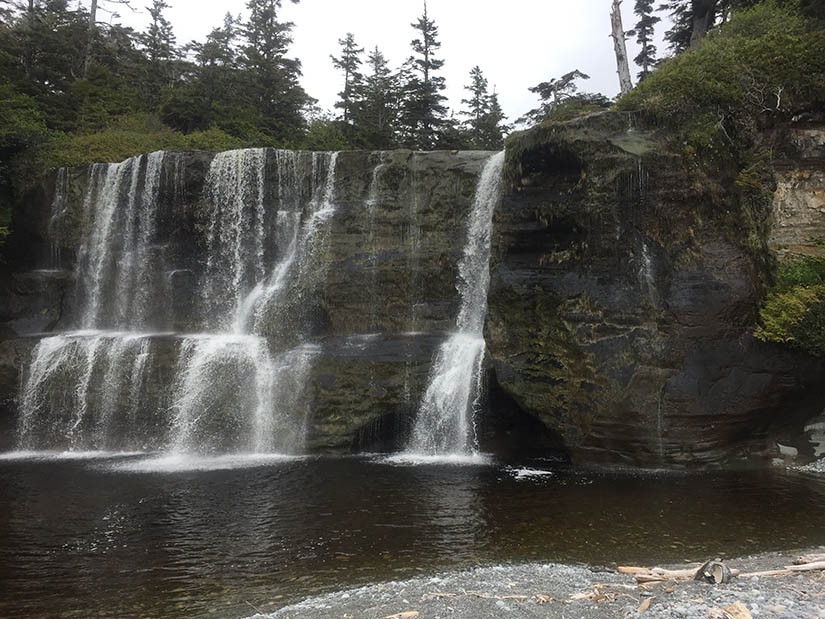
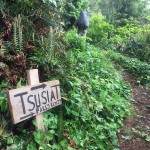
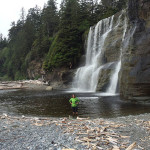
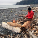
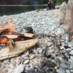
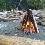
We hiked 1 or 2 km past the river, then climbed down the ladders to the beach and camping area around Tsusiat Falls. We were the first ones there, but we spent such a long time looking at the falls, everyone else arrived and snatched up all the obvious campsites. We wandered over to the south side of the ladders and found a good place to camp. I spotted some whales as we were setting up our tent. Everything was still wet and misty, but we managed to build a nice campfire on the beach that night.
Day 3: Tsusiat Falls to Cribs Creek, 16 km
Tsusiat Falls turned out to be quite a crowded camping area. People continued to show up throughout the evening. In the morning, there was a bit of a line for the outhouse. It also rained on us for about 10 minutes – soaking the tent right after we had removed the rainfly. I was glad to get out of there.
We started our day hiking about 4 km on the beach. The trail then took us into the forest as we passed through the Ditidaht Tribe Reserve Lands. Shortly after KM 32, we reached Nitinat Narrows. We did not have to wait long for the ferry operator to spot us and bring the boat across. When we reached his establishment on the other side, we took a seat at one of the picnic tables and ordered some halibut, baked potatoes and beers. This set us back $64 but it was really good.
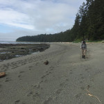
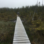
Upon leaving Nitinat Narrows, we hiked on slippery boardwalks for several kilometers. After the Cheewhat River crossing, the trail became much easier. It was wide and flat and soft. Rob decided we should switch to the beach! At first this seemed like a bad idea, but the beach also turned out to be easy walking!
The sun came out and life was good. We switched between beach and rainforest a few more times before reaching our destination: Cribs Creek. We were greeted by a couple of hikers sitting near a hammock. They had come from the south and they informed us that the next 10 km would be pretty easy.
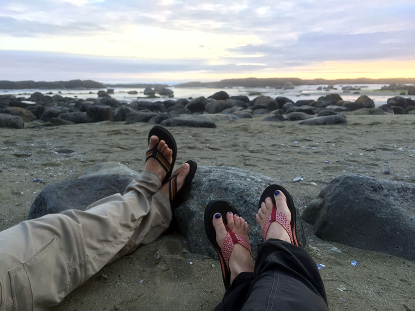
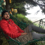
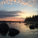
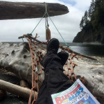
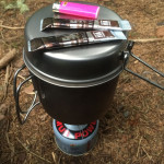
We cooked, sat in the hammock, watched the waves crash over the “cribs” (rocky outcroppings), waited for the sunset (which is REALLY LATE in Canada), then went to bed.
Day 4: Cribs Creek to Walbran Creek, 11 km
Easy day of mostly beach hiking. We climbed up to the lighthouse at Carmanah Point. I hate to admit this because everyone seems to LOVE lighthouses, but they really don’t interest me that much. The highlight: there was a bald eagle sitting on a tree nearby! We had already seen a few, but this one was really close!
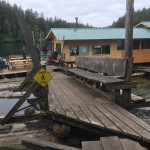
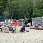
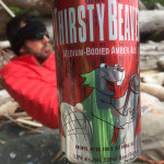
We dropped back down to the beach and arrived at Chez Monique! It was a little too early for burgers, but we bought snacks, fresh fruit (an apple), a hot chocolate and a can of beer to go. We sat around the campfire with a few other hikers we had met along the way: a couple from Norway (both students) and two guys from Germany (a pilot and a flight attendant).
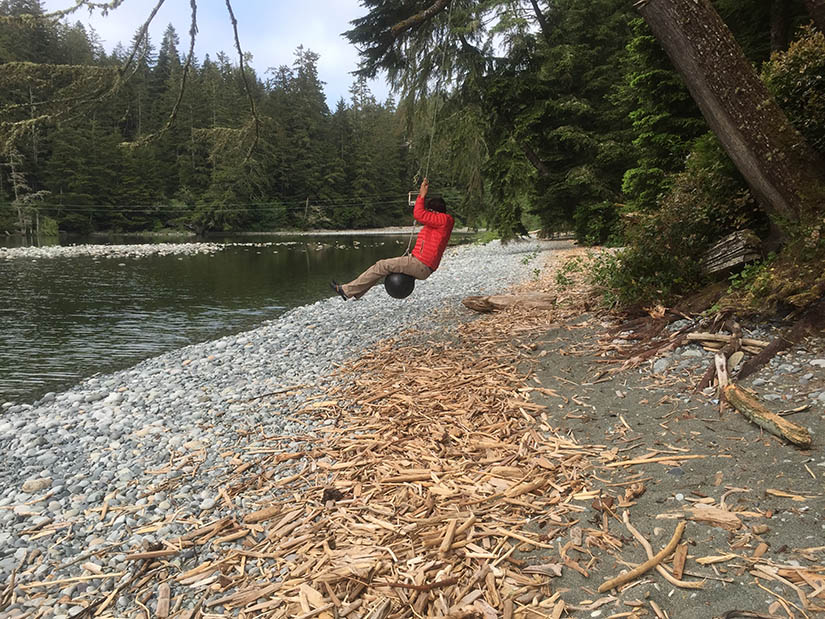
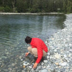
After leaving Chez Monique, we hiked the remaining 8 or 9 km along the beach to Walbran Creek. The sun was shining when we reached camp. We set up the tent and built a fire. Rob (following the lead of the Norwegian couple) went for a very quick swim in the frigid waters of Walbran Creek. I was not quite brave enough.
Day 5: Walbran Creek to Camper Bay, 9 km
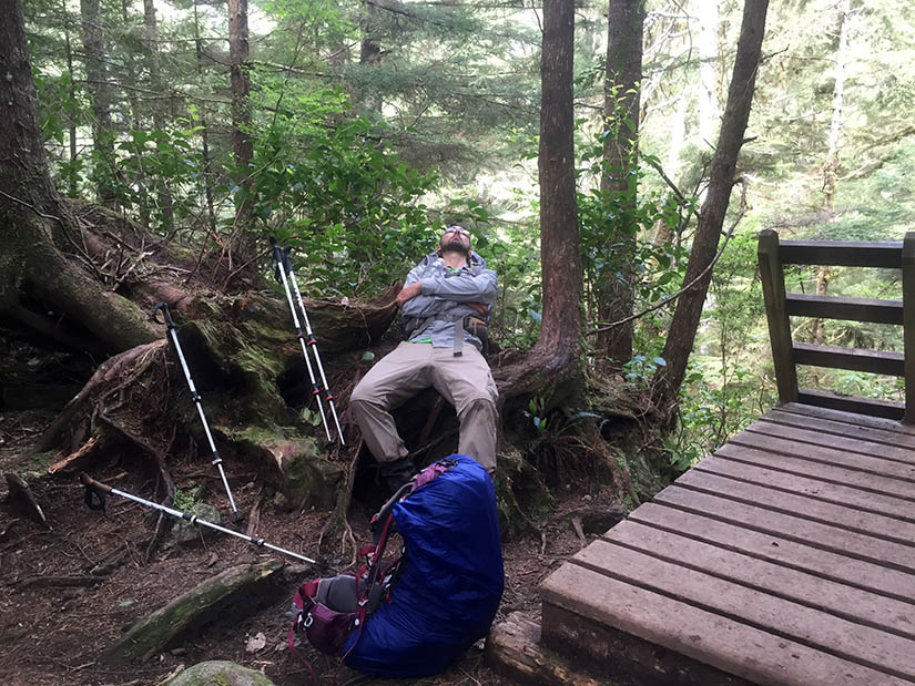
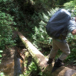
Difficult, muddy, slow section of trail today. Rob fell really hard. I heard him go down but I was still around the corner and did not see it. When I arrived on the scene, I saw nothing but two muddy feet sticking up out of a hole. He had some difficulty extracting himself with the pack on his back. It was kind of funny after the initial shock wore off, but mostly I was glad he didn’t break anything.
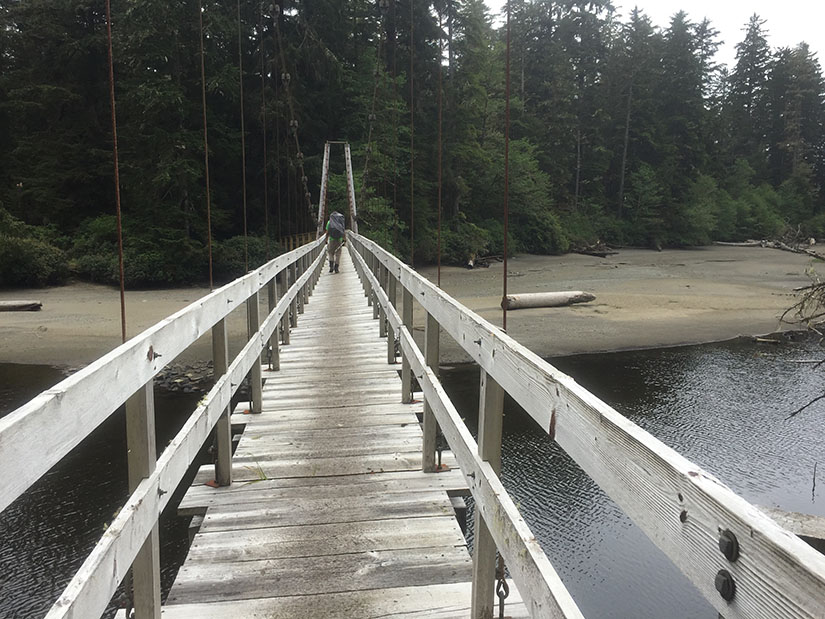
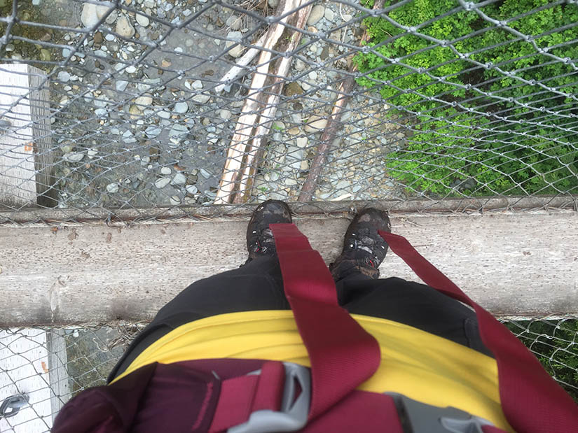
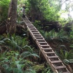
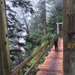
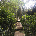
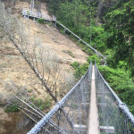
There were many big ladders on this section. The suspension bridge at Logan Creek was a little scary – especially after the ranger had told us something like: “limit it to 1 or 2 people until we fix the bridge.”
Did I mention there was a lot of mud? It took us 6 hours to hike 9 kilometers.
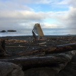
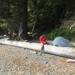
It was quite cold and windy when we reached Camper Bay. Large piles of driftwood obstructed our view of the ocean, but also provided some shelter from the wind. The two German guys lost a package of dehydrated dinner to a crow attack when they briefly walked away from their site. Later in the evening, we saw a crow fly off with an unopened granola bar in its beak. Smart birds. I was glad all our food was in bear cans.

Day 6: Camper Bay to Thrasher Cove, 8 km
From Camper Bay we had a few more kilometers of difficult, muddy trail before we were able to drop down to the beach again.
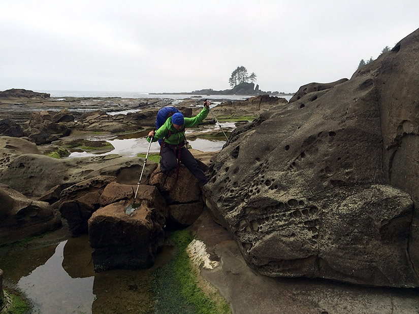
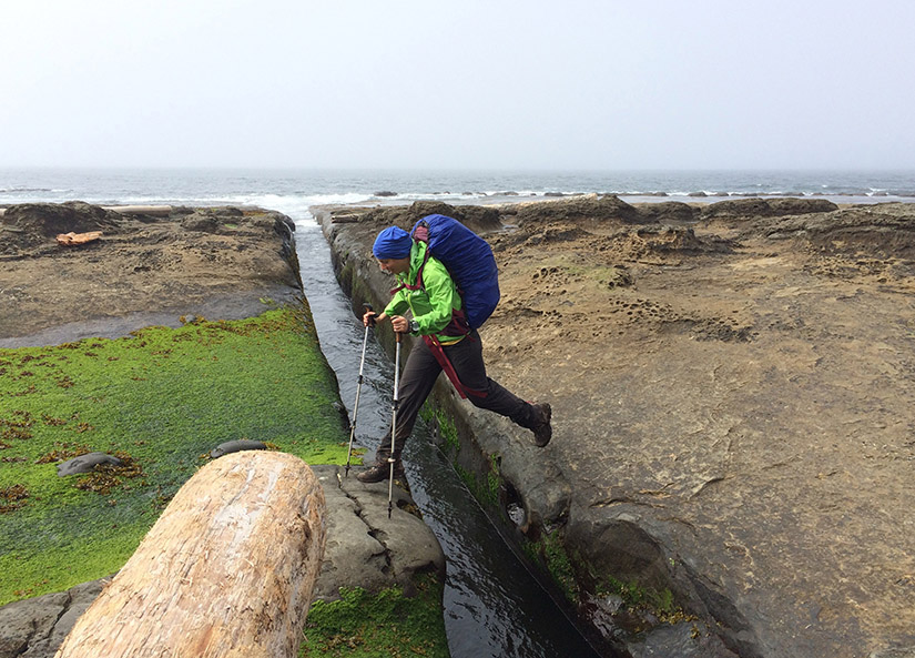
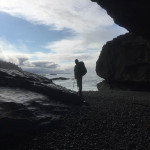
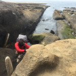
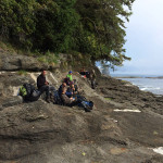
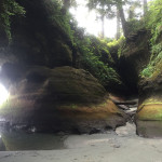
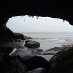
The “beach” before Owen Point is more of a rocky shelf. We crossed over and climbed through several surge channels. We reached Owen Point well before noon. To pass the point, one has to either climb over the top (using some ropes) or walk through a sea cave when the tide is really low. The tide wasn’t low enough. We sat and watched the many seals swimming in the ocean as we waited for the tide to drop. The Norwegians, the Germans, and five other hikers were all waiting with us. Eventually, a few of us got impatient and we climbed over the top. We were still able to explore the sea cave from the other side.
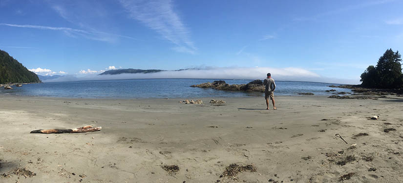
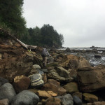
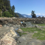
The hike from Owen Point to Thrasher Cove is one long boulder hop. It was sunny and hot as we clambered over piles of rocks and piles of driftwood. I was getting pretty tired by the time we arrived at the sandy beach of Thrasher cove.
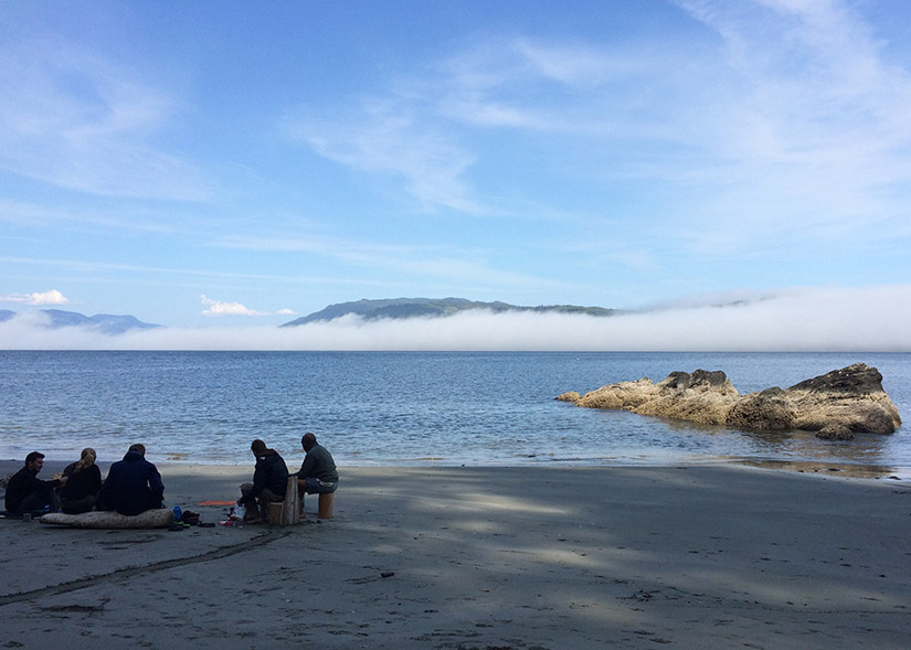
It was nice to stick my feet in the ocean after setting up camp. Everyone else arrived in short order. We all ended up cooking together and sharing one communal bonfire that evening. Good people.
Day 7: Thrasher Cove to Gordon River to Victoria, 6 km
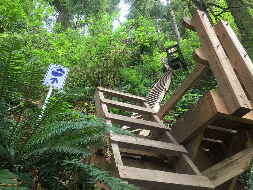
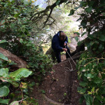
Our last day on the trail began with a series of ladders. We were told it would take an hour to reach the junction with the main trail. We climbed the 1 km of ladders and steep switchbacks in about 25 minutes. Not bad!
We came across a trail maintenance crew somewhere near Log Jam Creek. They were reconstructing a bridge and had a somewhat permanent camp set up. (Suspending an extra tarp over your tent is apparently the key to keeping things dry!)
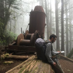
We reached the high point of the trail, passed an old donkey engine, then descended through several kilometers of forest. We made it Gordon River just as the ferry was dropping off some fresh-faced hikers setting out on their first day. We hopped on and were quickly transported to the ranger station on the other side.
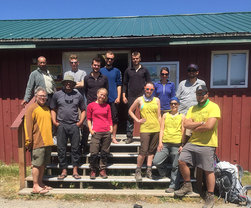
The trail bus wasn’t due to show up for another 6 hours. Fortunately, the two German guys had a rental car and we were able to hitch a ride back to Victoria!




Wow, what an adventure guys! I think that topped them all…the suspension bridges and ladders would have killed me. I shipped the Inside Passage for more than 25 years but never got a chance to see the beauty from the land side. Thanks for the fun read and the beautiful pics…always a pleasure to read your writing…and Happy Birthday Rob! Ciao, Lorenzo
Thanks for the birthday wish Lorenzo. I can’t think of a better way to celebrate than backpacking. Actually when we backpacked in Yosemite last summer it was for a friends birthday also. The ladders are very tiring but our days were relatively low mileage so it wasn’t too bad over all. Some sections were so difficult though that a kilometer felt like a mile. I think having every km posted is nice but it also lets you know how slow you’re going.