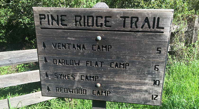
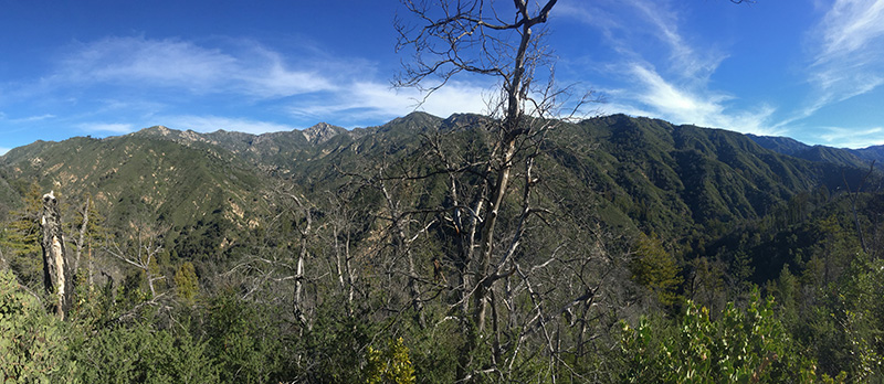
The shortest route to Sykes Hot Springs is a 10 mile trek along the Pine Ridge Trail. The springs are deep in the Ventana Wilderness, but a visit to Sykes is not much of a wilderness experience at all. On any given weekend, dozens (if not hundreds) of people are out on this trail with Sykes as their destination.
Trail Basics: This is a 20 mile roundtrip hike with approximately 5000 feet of elevation loss/gain. It’s possible to do this as a long day hike. There are three other camp sites on the Pine Ridge Trail between the trailhead and Sykes Camp: Ventana, Terrace Creek and Barlow Flat. There is one camp site (Redwood Creek) on the Pine Ridge Trail approximately two miles past Sykes. The hot springs themselves are comprised of two warm pools, large enough for 4 or 5 adults. Sykes Camp has 6 or 7 tent sites, but dozens of people seem to find space there on some weekends.
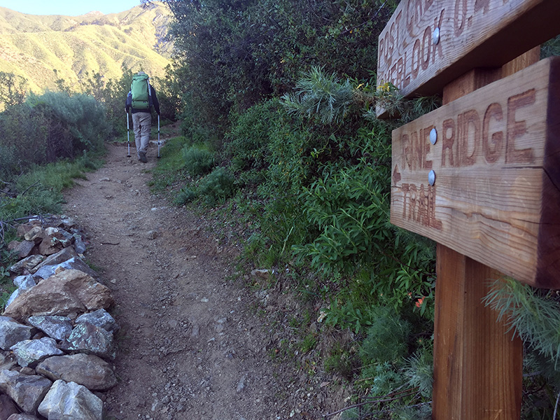
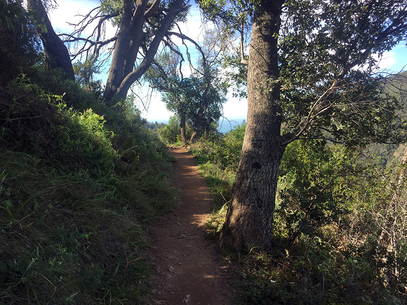
Directions to Trailhead: The trailhead is located at Big Sur Station, 0.5 miles south of the main Pfeiffer Big Sur State Park entrance. Google Maps link to trailhead. There are restrooms at the trailhead. The Pine Ridge Trail is the only trail leaving the parking lot – you can’t miss it.
Logistics & Red Tape: There are no quotas for this trail. The only required permit is a campfire permit which can be obtained online. We hiked on a very crowded weekend – there was actually a volunteer at the trailhead handing out campfire permits. Parking at the trailhead is $5 per day, self-issued. We were unable to park in the lot, and ended up parking for free on the side of the highway. If you do this, do not park in front of the bus stop; you will be ticketed.
Leave No Trace: This trail should probably have a quota system. The sheer number of visitors means that following LNT principles is absolutely critical. I actually felt that for how many people and dogs we encountered, there was very little trash/dog shit on the side of the trail or around camp. This made me happy. So don’t be the jerk that ruins this place for everyone else. Read up on Sykes specific LNT at the Ventana Wilderness Alliance website.

I had a lot of fun on this hike, but it’s safe to say that this was not one of Rob’s favorite trips. We were expecting it to be crowded, so that wasn’t a big surprise, but Rob also thought the hot springs themselves were a little underwhelming. The two pools are not very big and not very hot (Rob measured 97°F on his watch). Nevertheless, the Pine Ridge Trail is beautiful and the entire trip was an interesting experience. Sykes attracts a unique mix of people, as I suspect is the case for most backcountry hot springs. I was particularly amused by some of the items people carried with them. This included: acoustic guitars, folding chairs (the kind you’d bring to a kid’s soccer game) and yoga mats. We also saw several uncomfortably overloaded backpacks without hipbelts! It’s amazing how much stuff can be strapped to the outside of a small school-sized backpack.

We initially planned to hike all the way to Redwood Creek, but we stumbled upon a nice unoccupied tent site at Sykes Camp and chose to stay.

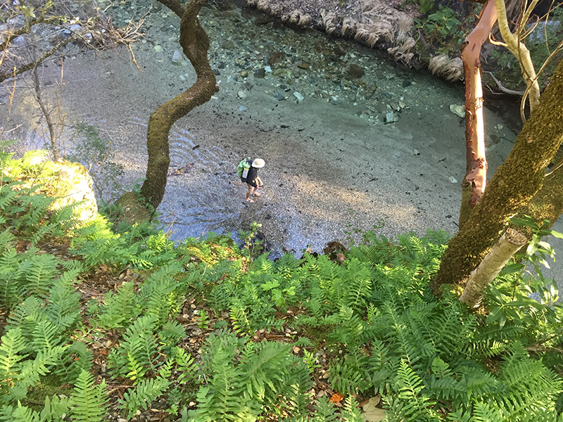
The pools were very crowded when we arrived, so after a quick jump in the water, we decided to wake up early the following morning for another visit. After 12 hours of sleep (it gets dark early!), we awoke with the sunrise and headed back to the hot springs. There were just a handful of other people there and we soaked in the warm water for a bit before returning to our tent site to make breakfast.

I always love visiting the Los Padres, and even though Rob didn’t love Sykes Hot Springs, this was a great 20 mile trip to test out some of our PCT gear.
Additional Info: The Ventana Wilderness Alliance has Sykes brochure with lots of great information.
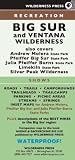
The online Big Sur Trail Map can be very helpful for planning trips in the area.
I found this map to be completely unnecessary (it’s really impossible to get lost on this trail), but I liked having it with me anyway because I’m a map nerd: