
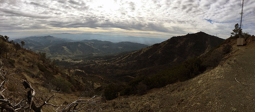
This is probably one of, if not the most difficult day hike in the Bay Area. Reaching all four of Diablo’s summits requires a full day – it’s 15 strenuous miles with over 6000-ft of elevation gain. We knocked this out in 8 hours. And yes, my legs hurt the next day.
Trailhead Directions and Red Tape: We began our hike at the Mitchell Canyon Visitor Center. The parking area is located at the south end of Mitchell Canyon Road in Clayton, CA. Google Map link to trailhead. Parking is $6 and the gate opens at 8:00 am.
After mapping our route, we were surprised/amused to discover that this hike is shaped like a chicken!
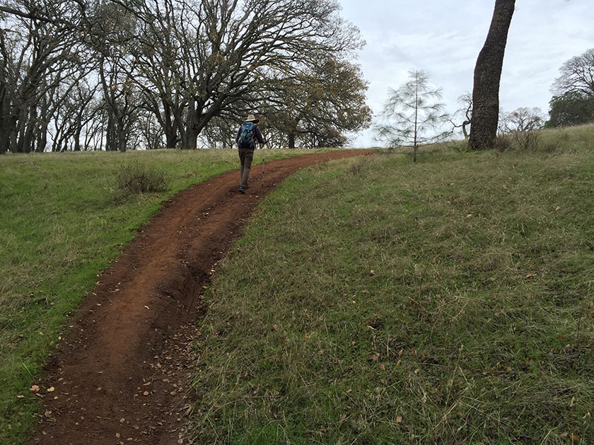
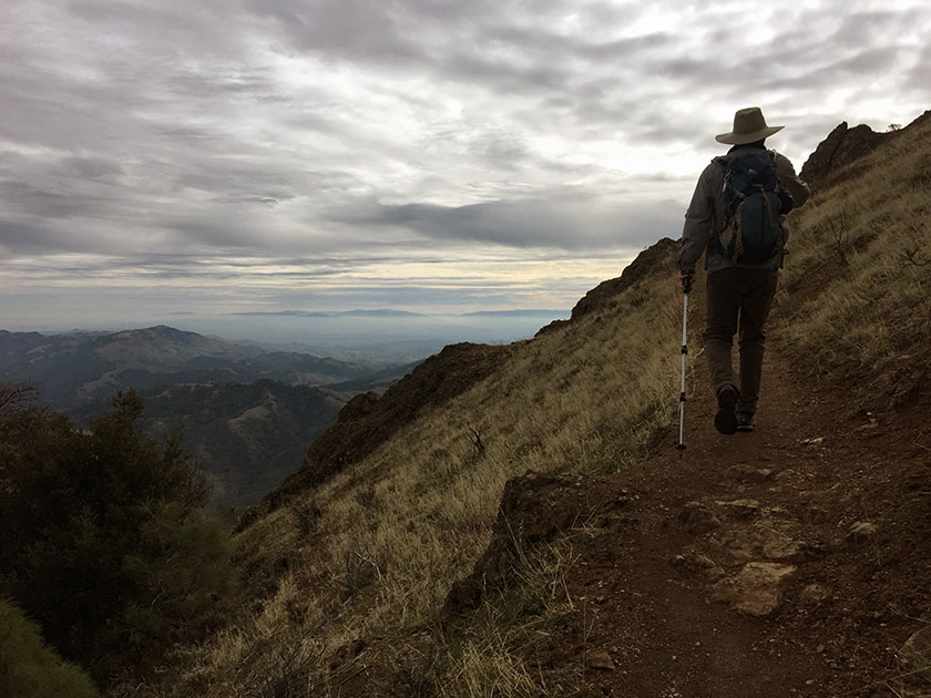
Trail Description: It hasn’t been easy getting outside with the cold spell we’ve been experiencing in California. Some people make a New Year’s resolution to go to the gym more. We’re not much ones for making resolutions, but in the spirit of the season, we decided to brave the cold and take on this ridiculous hike that we’ve been thinking about doing for a few years.
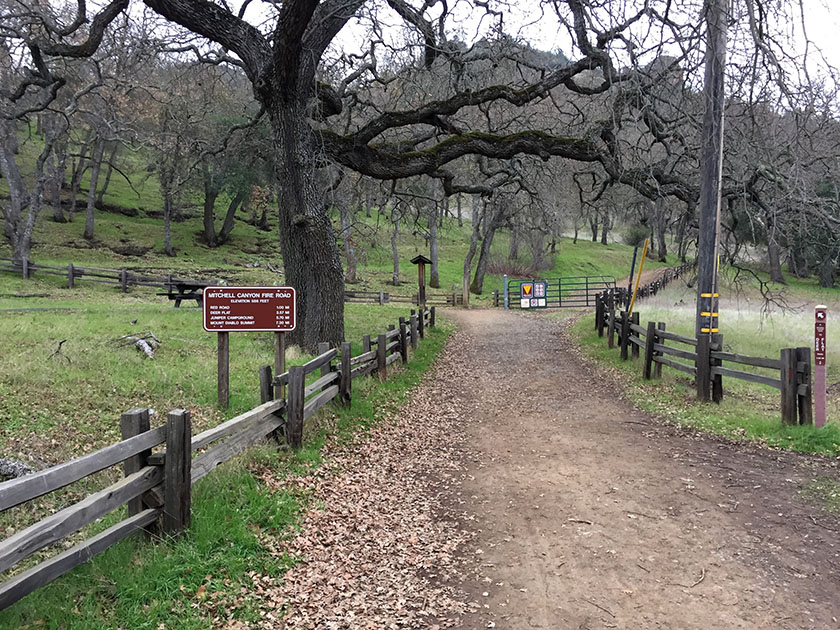
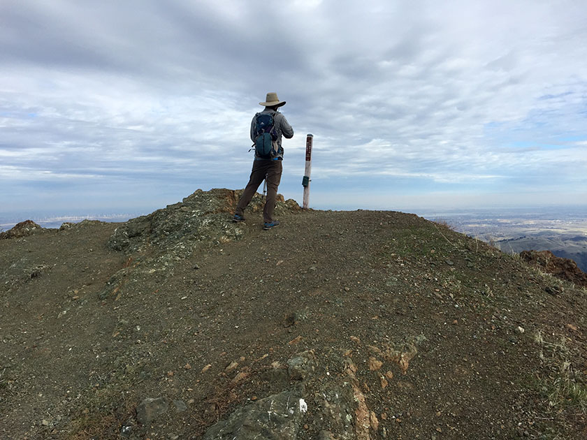
We started out at the Mitchell Canyon trailhead and followed a maze of trails to the top of Mount Olympia: Oak Road to Coulter Pine Trail (0.5 miles) → Bruce Lee Road (0.25 mi) → Back Creek Trail (0.35 mi) → Tick Wood Trail (0.65 mi) → Donner Canyon Rd (0.25 mi) → Cardinet Oaks Rd (0.5 mi) → Olympia Trail (0.7 mi) → Olympia Rd to Mt Olympia summit (1.35 mi)
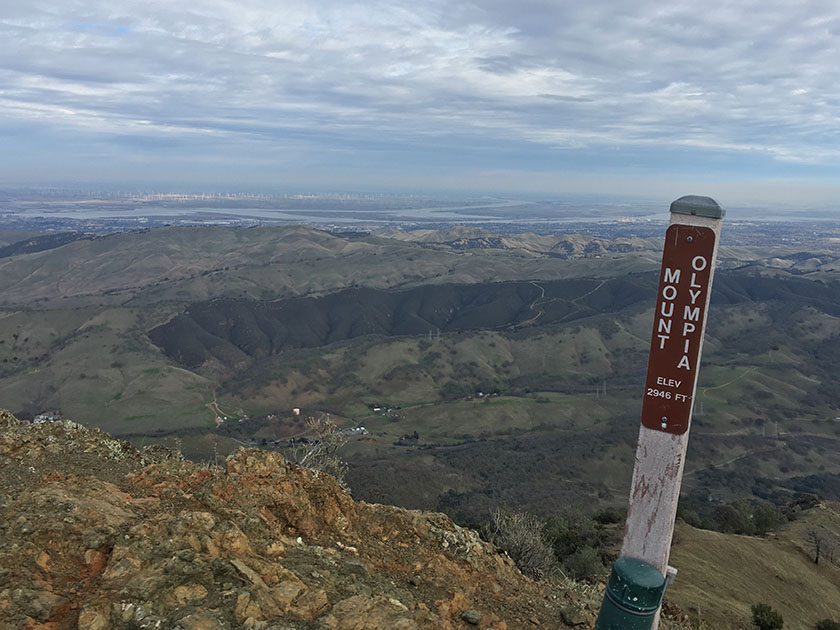
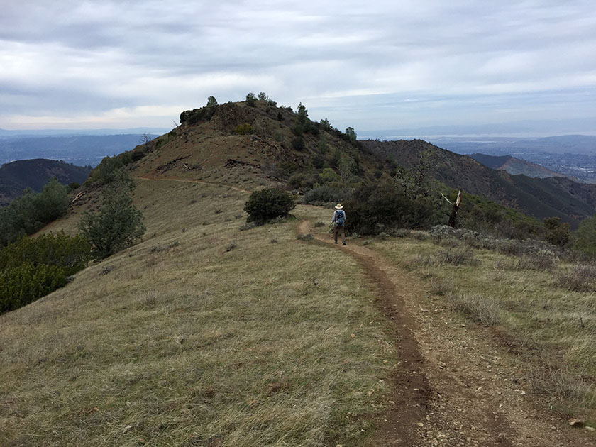
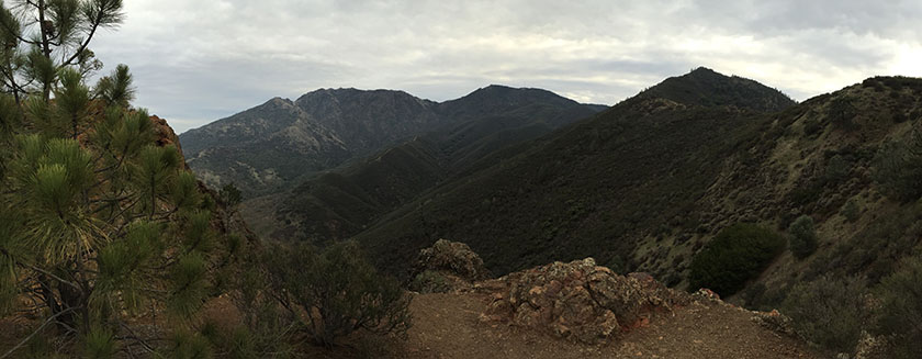
After a quick break at the Mount Olympia summit, we followed the North Peak Trail (1 mile) to the top of North Peak.
It was cold. We barely paused on North Peak before heading down North Peak Rd (0.85 mi) to Prospectors Gap.
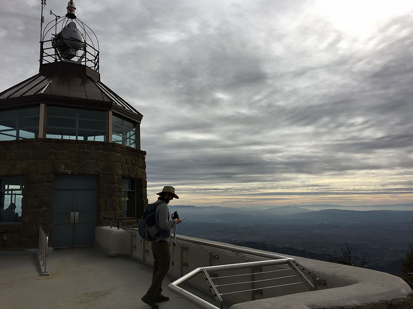
From Prospectors Gap we took the North Peak Trail and Summit Trail for 1.5 miles to the parking lot at the top of Mount Diablo. Suddenly there were people everywhere! After checking out the observation deck, we sat in the picnic area (at the lower parking lot) and ate lunch. Our brief stop left us thoroughly chilled and we got moving again as quickly as possible. One more summit to go…
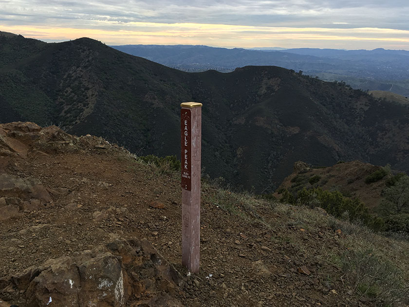
We retraced our steps on the North Peak Trail (1.5 miles). Our route from Prospectors Gap: Bald Ridge Trail (1.25 mi) → Eagle Peak Trail (1.6 mi) → Mitchell Rock Trail (1.5 mi) → Mitchell Canyon trailhead.
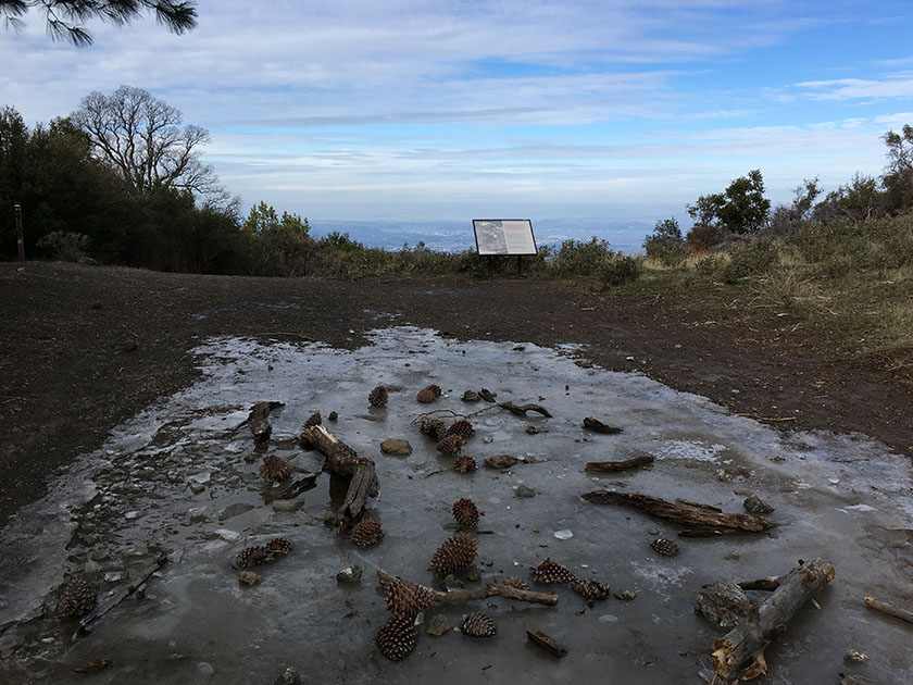
More Info: There’s a cartooney but fairly comprehensive trail map in the pdf brochure for Mt. Diablo SP. If you plan to visit this park a lot, a better trail map is available at REI:

Used to be we did that four peak, but using a different route. My peak buddy (now deceased) chose to bag Eagle Peak first, then to bag North and Olympus, then the highest peak as the grand finale. Once we took the Eagle Peak Trail in spring, and it was a tick-fest. So, we started to use the trail over from Deer Flat. Perhaps a harder day was my double bag, to climb Fiske, then motor over to bag Mt. St Helena. I did this three times, and I perhaps got criticism for including driving as part of the day. Just an easy peak (for me) could cause a beginner to fall asleep at the wheel.
I just did this hike, following your “chicken” shaped route…. EXHAUSTING!! but totally worth it. BTW you didn’t mention the 5th peak on the map…your route goes through Twin Peaks @ 1700ish ft elevation between Eagle Peak and Mitchell Rock. Thanks…I think.
Awesome! That is a tough hike. You’re right about Twin Peaks- I guess this should be considered the Five Summits hike. 🙂
Thank you so much for this post! Do you know if this is possible to do counterclockwise (i.e. Eagle Peak first, ending with Olympia?)
Yes- absolutely. It will be a challenging hike in either direction, but there’s no compelling reason to pick one over the other.
Are there any campsites nearby that one could use to turn this hike into an overnight hike?